拍品/united states baltimora bjqoD8L 633082232 / 在售
拍品/united states baltimora bjqoD8L 633082232
在售拍賣結果
拍品/united states baltimora bjqoD8L 633082232
在售拍賣結果
讓您的拍賣觸及全球收藏家!
立刻發佈上架全部拍賣 / Books, Maps & Manuscripts / United States - Baltimora

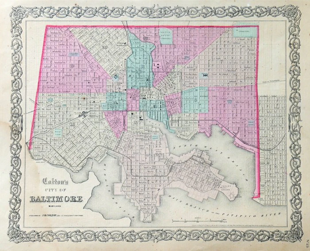
Technical data Subject / Title: «City of Baltimore, Maryland» Cartographer: George W. Colton Publisher: J. H. Colton & Co., 172 William Street Place: New York Period / Date: 1855–1856; copyright dated 1855 Source work: «Colton’s Atlas of the World, Illustrating Physical and Political Geography» Technique: Cartographic print from an engraved drawing, probably transferred onto a lithographic stone, with period hand coloring of the districts Support: Paper Dimensions: Sheet 44.5 × 36 cm; paper area about 40 × 33 cm Composition: A sheet from an atlas, numbered “No. 23”, with the text “The District of Columbia” on the reverse Description Plan of the city of Baltimore, in Maryland, published in New York by J. H. Colton & Co. and from «Colton’s Atlas of the World, Illustrating Physical and Political Geography». The map documents the street grid, the numbered subdivision of the neighborhoods, and the relationship between the city and the harbor facing the Patapsco River. The hand coloring distinguishes the different urban areas; places indicated include railway stations, cemeteries, squares, public buildings, and port facilities. The drawing is enclosed by the characteristic ornate interlaced border of Colton maps. At the bottom left are the title and the editor’s address; on the right margin is the table number. The reverse bears a geographical and statistical text titled «The District of Columbia». Historical-artistic note The plan belongs to the first season of Colton’s atlases. The American volume of «Colton’s Atlas of the World» appeared in 1855; the map was also included in the 1856 single-volume edition. The 1855 copyright registration and the numbering “No. 23” are consistent with these early editions, and do not by themselves allow a definite identification of the exact volume of origin. The detailed depiction of neighborhoods, roads, and infrastructures documents Baltimore before the American Civil War. Condition Report Hand-colored in period; preserved. Light browning and small scattered spots, mainly visible in the margins; modest signs of aging on the paper. Slight damp stain in the lower-left corner. Text on the reverse.
估價:$22.4
前往拍賣頁查看所有物品來自Catawiki或Books, Maps & Manuscripts
估價:
$22.4
讓您的拍賣觸及全球收藏家!
立刻發佈上架
$350.62
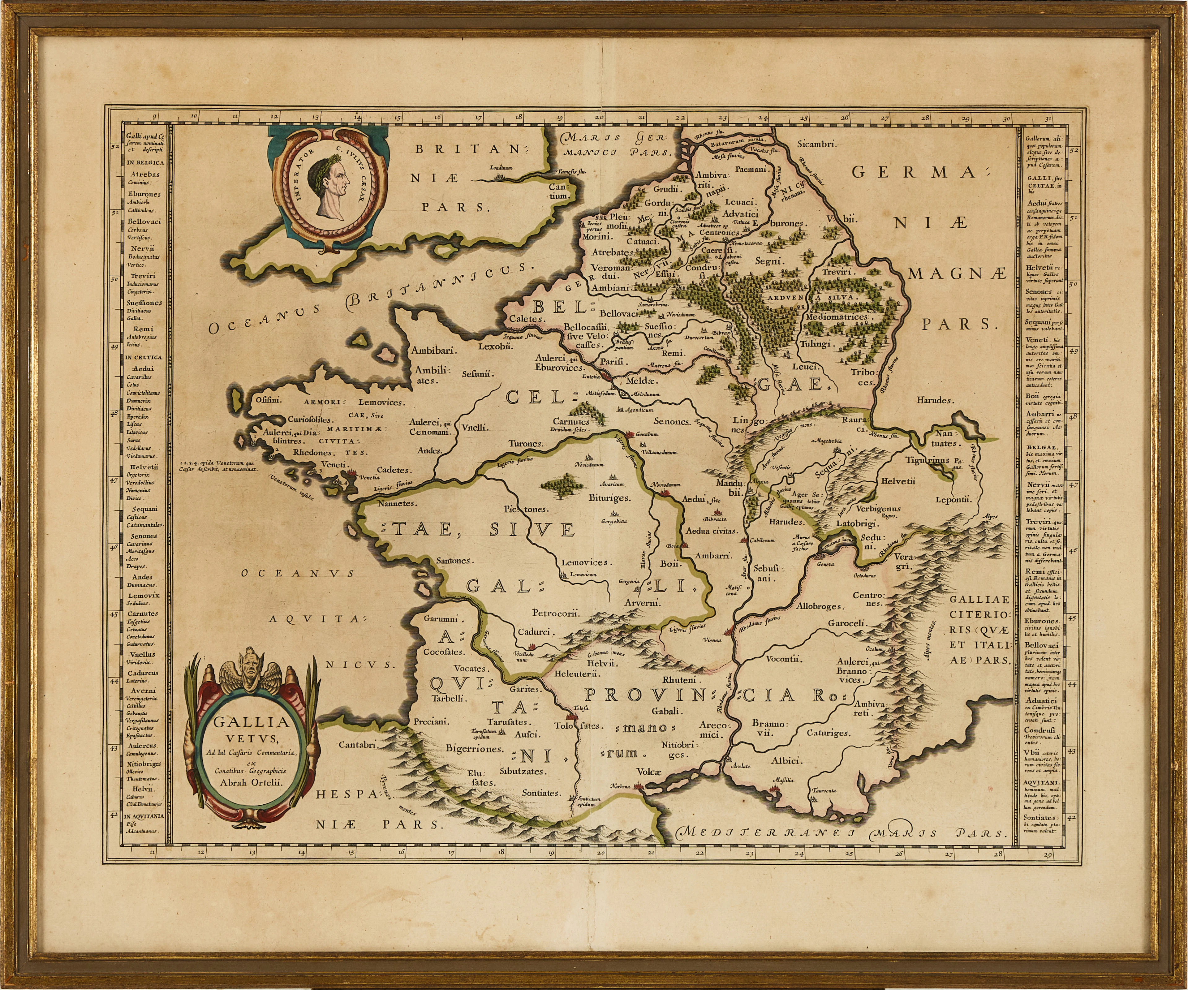
KARTA ÖVER FRANKRIKE, ORTELIUS GALLIA VETUS, ca 1590-1610.
10/06/2026
$80
估價: $149.41