
全部拍賣 / Books, Maps & Manuscripts / United Kingdom - Cambria: Wales

United Kingdom - Cambria: Wales
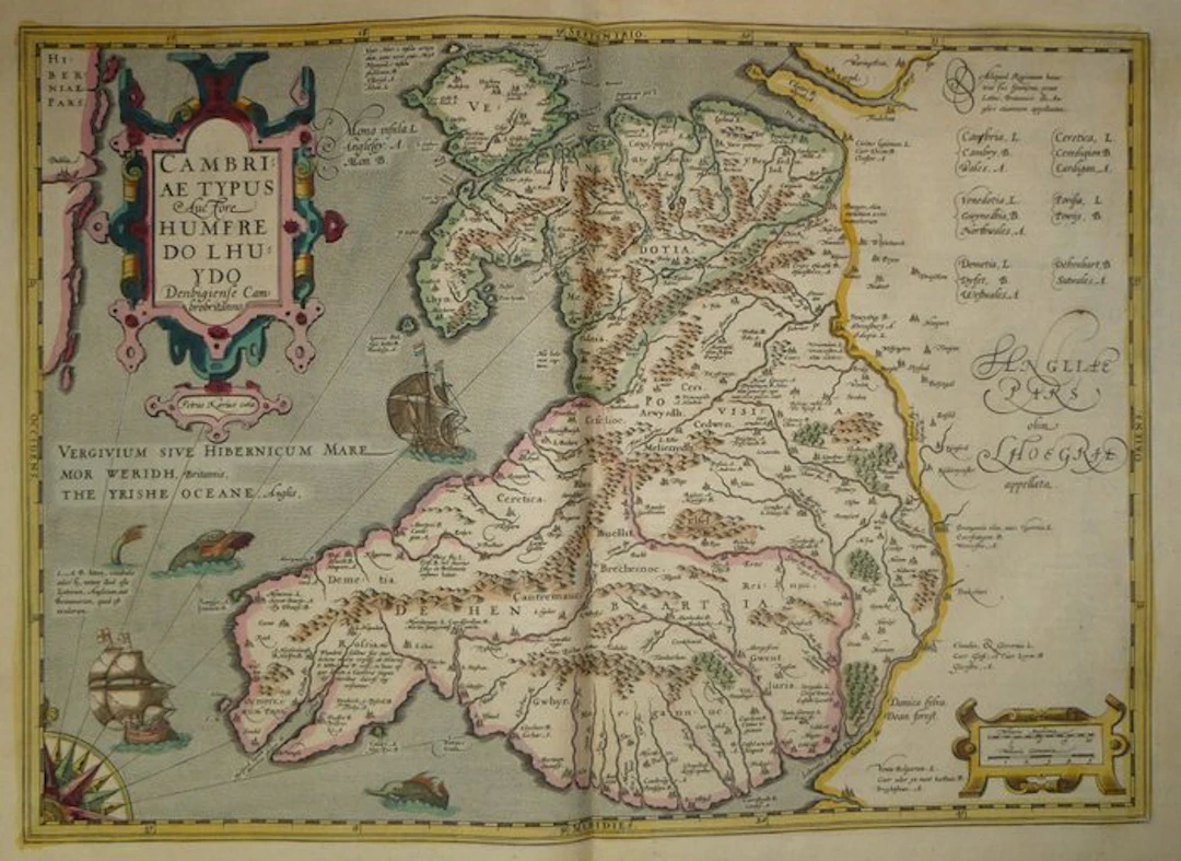
Old copper-engraved map of Wales, hand-enhanced, by Humphrey Llwyd, published in 1633 in the Mercator-Hondius atlas. It features a large title cartouche with a leather-and-scroll decorative motif, colored pink and blue-green, bearing the inscription “Cambriae Typus, auctore Humfredo Lhuydo Denbigiense Cambrobritanno.” Beneath this cartouche is the engraver’s signature, Petrus Kaerius. The relief is drawn with hachured hills and colored, with wooded areas and numerous small symbols for towns. The Isle of Anglesey, the Llŷn Peninsula, and the Pembrokeshire coast are finely detailed. On the Sea of Ireland, designated in Latin, Welsh, and English, two sailing ships can be seen, one of which carries English flags. Three sea monsters, a wind rose, and rhumb lines animate the western part. The English side is occupied by a legend in three languages and by a calligraphic initial “Angliae Pars olim Lhoegriae appellata.” The frame is graduated in latitude and longitude and colored yellow. The map is labeled in Latin, with place-names in Welsh and English. - Dimensions: on sheet: 56 x 47.5 cm; on the map plate: 46.9 x 35.3 cm - Condition: Good overall for a map of this period. Presence of a central vertical crease and slight stains. See photos for details. Atlas Mercator-Hondius - The atlas called “Mercator-Hondius” restates the work of Gerard Mercator, whose copper plates were purchased by Jodocus Hondius in 1604. This 1633 French edition is signed by his son Henricus Hondius and his son-in-law Joannes Janssonius, who added new maps. Humphrey Llwyd - Humphrey Llwyd (Denbigh, circa 1527 – 1568) was a Welsh physician, antiquary, and cartographer. He served as secretary to the Earl of Arundel and as Member of Parliament for Denbigh. He sent Abraham Ortelius two manuscript maps, one of England and Wales, the other of Wales only, along with a text on Great Britain (Commentarioli Britannicae Descriptionis Fragmentum, 1572). Ortelius published them in his Theatrum Orbis Terrarum. This map is generally regarded as the first printed map of Wales. It served as a model for many later atlases, including Mercator’s.
估價:$392.44
前往拍賣頁查看所有物品來自Catawiki或Books, Maps & Manuscripts
估價:
$392.44
類似物品





類似物品的拍賣結果
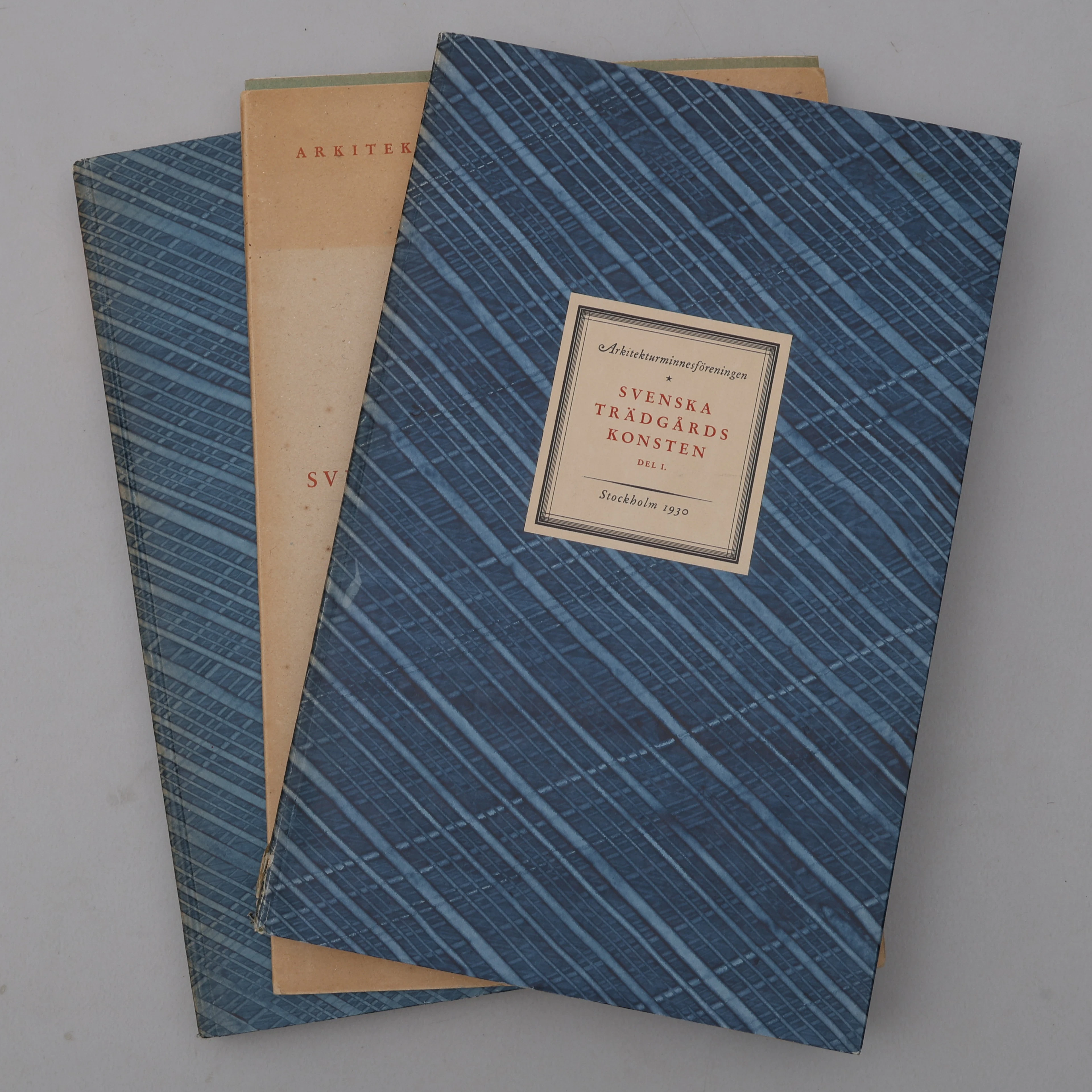
BIBLIOFILI/TRÄDGÅRD. SVENSKA TRÄDGÅRDSKONSTEN SÅDAN DEN TILL VÅRA
10/07/2026
$110.32
估價: $300
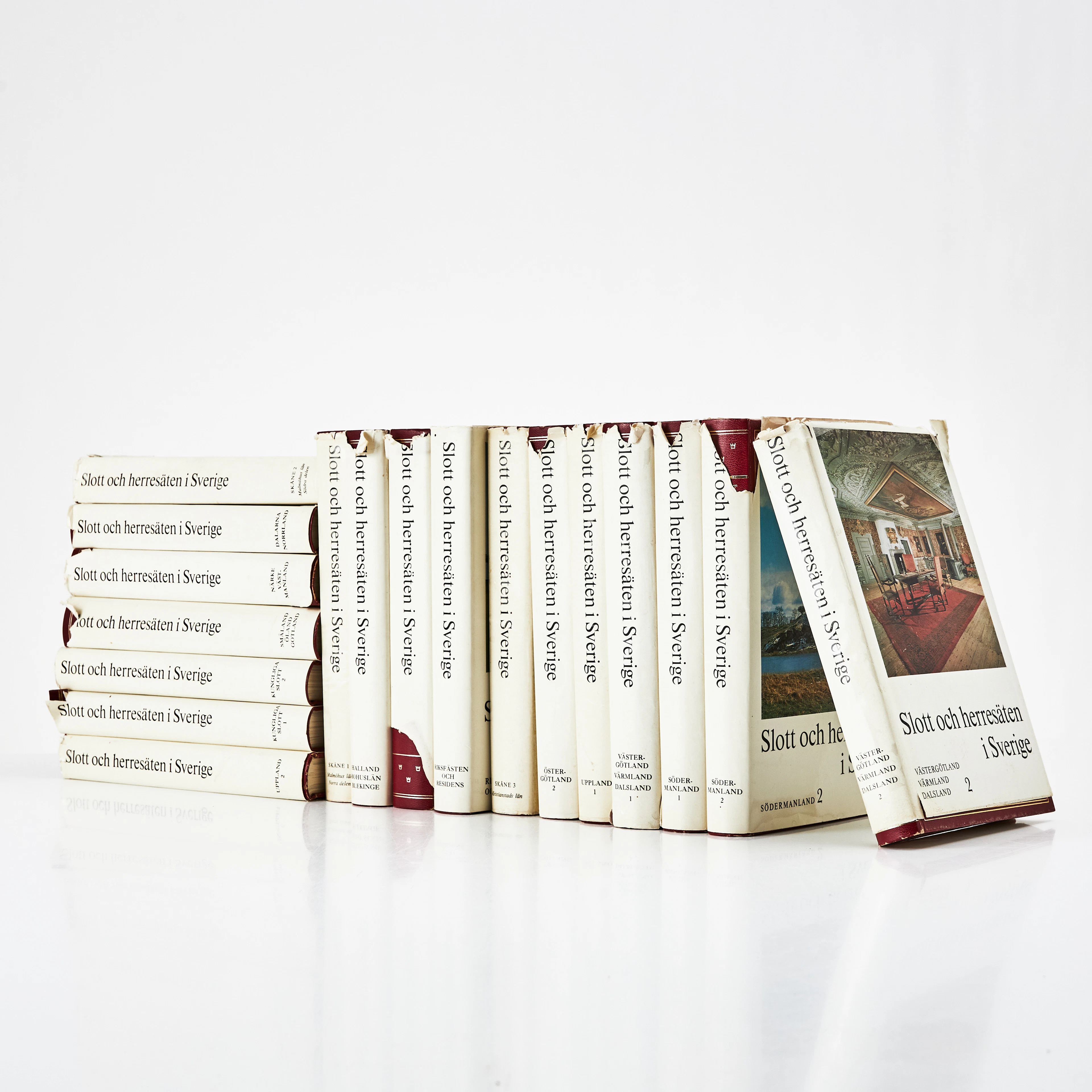
SLOTT OCH HERRESÄTEN I SVERIGE, 18 VOLYMER, Malmö, 1966-71.
10/07/2026
$80.23
估價: $150
讓您的拍賣觸及全球收藏家!
立刻發佈上架