
全部拍賣 / Books, Maps & Manuscripts / United Kingdom - and Ireland; Meyer - - - 1821-1850

United Kingdom - and Ireland; Meyer - - - 1821-1850

4 hand-coloured steel-engraved maps depicting Great Britain, England, Scotland and Ireland by Captain Radefeld, dated 1844, from Meyer’s *Großer Handatlas*, published by the Bibliographisches Institut, Hildburghausen. A complete set of 4 maps depicting the British Isles. Highly detailed, finely engraved, border-coloured steel-engraved maps. Featuring early railway routes, canals and steamboat routes. Sheet size: approx. 45 x 36 cm in each case Condition with some water stains on the white margins, otherwise in very good condition, some sheets slightly age-toned.
估價:$1.12
前往拍賣頁查看所有物品來自Catawiki或Books, Maps & Manuscripts
估價:
$1.12
類似物品





類似物品的拍賣結果


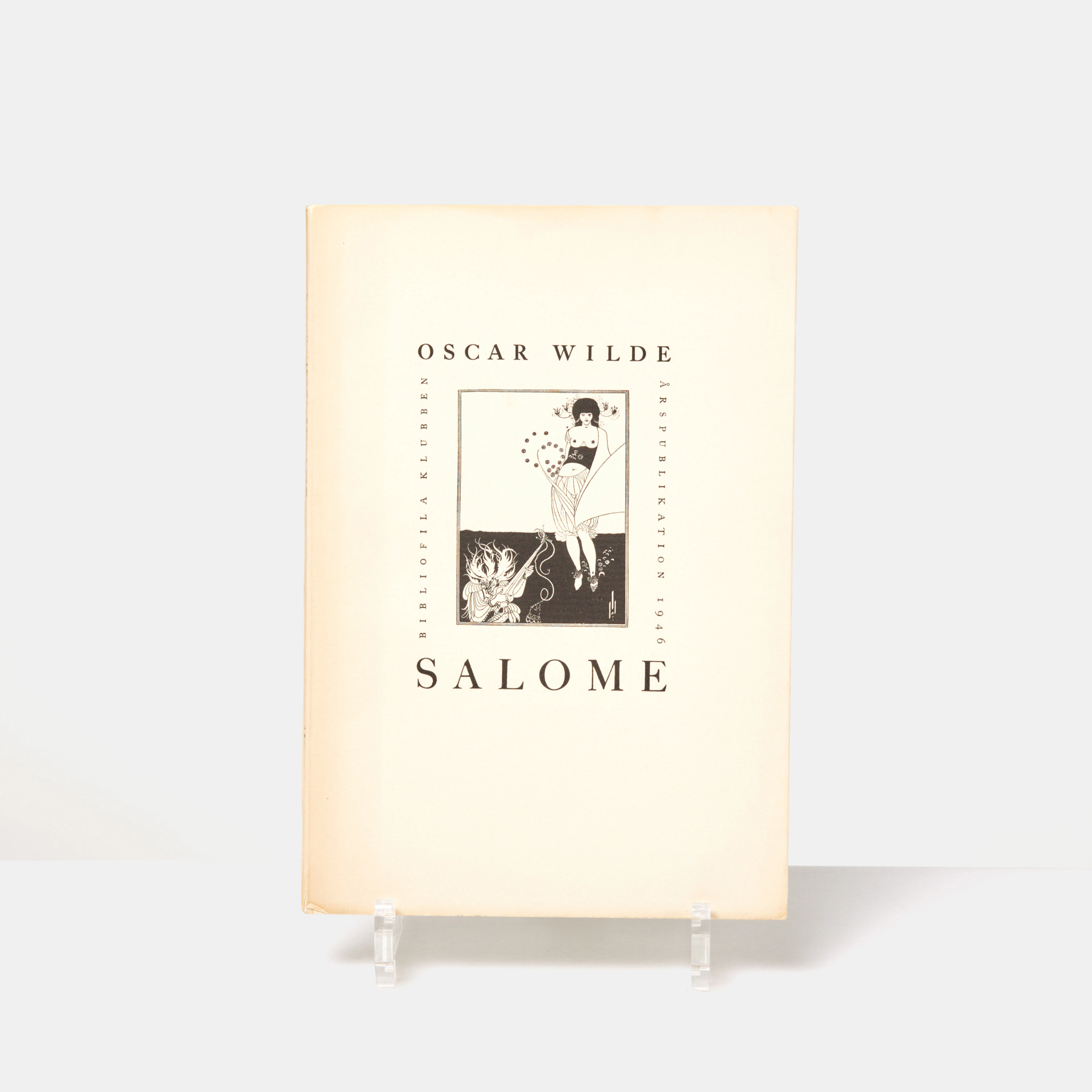
OSCAR WILDE, "Salome", tragedi i akt med 16 teckningar av Aubrey Beardsley
10/13/2026
$85.39
估價: $99.62
讓您的拍賣觸及全球收藏家!
立刻發佈上架