
全部拍賣 / Books, Maps & Manuscripts / Pierre Bertholon - Atlas moderne portatif - 1799

Pierre Bertholon - Atlas moderne portatif - 1799
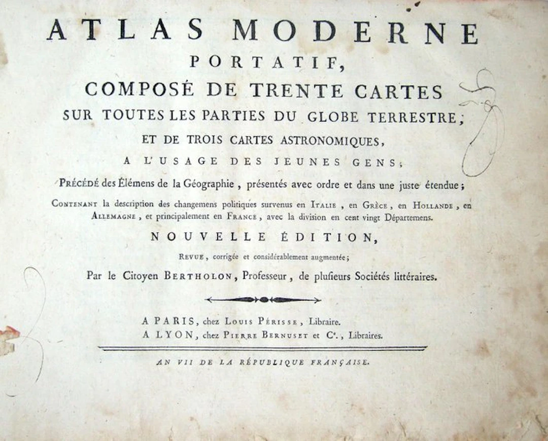
BERTHOLON (Pierre). Portable modern atlas, consisting of thirty maps of all parts of the globe, and three astronomical maps, for the use of young people; preceded by the Elements of Geography. Paris, Louis Périsse; Lyon, Pierre Bernuset & Co., an VII [1799]. Small octavo, oblong, 95 p., [1] f. (table), 33 engraved maps and plates in black, binding: tawny speckled morocco, spine with raised bands ornately decorated, title-piece (period binding). New edition, revised, corrected and considerably enlarged. Abbé Pierre Bertholon de Saint-Lazare (1741-1800) was a Lyonnais physicist and a former Lazarist, a pioneer of the lightning rod and of medical electricity, later a professor at the central schools of Montpellier and Lyon (1797). Here he provides the republican overhaul of the Atlas moderne portatif of Abbé Joseph de La Porte (1714-1779), a school manual published in 1776. Signed “le Citoyen Bertholon,” the text describes the political upheavals that occurred in Italy, Greece, Holland, Germany and especially France, with the division into 120 departments. Complete according to the table. The atlas opens with the Sphere and three astronomical maps (Celestial Planisphere, Effects of the Sun and Moon, Division of the globe into circles). Follow thirty maps, from the World Map to Jamaica, including two new plates: the French Republic divided into departments with the island of Corsica (plate V bis), and modern Italy with the Cisalpine Republic (plate VI bis). The Americas occupy six plates quite interesting for the cartography of colonial America: - Northern America, still divided between Canada and Louisiana; - Southern America; - Gulf of Mexico “subject to astronomical observations”; - New England, New York, New Jersey and Pennsylvania (Boston, Albany, Schenectady, Philadelphia); - Virginia and Maryland (Baltimore, Annapolis, Williamsburg, Jamestown, Norfolk); - Isle of Jamaica with its parishes (Kingston, Port Royal, Spanish Town). The engraved mentions “T. IX. P. 246” and “T. IX. P. 426” likely refer to Volume IX of Le Voyageur françois by La Porte, the first use of the copper plates. Binding worn, headcaps and corners rubbed, missing the title-piece, name “Bernard” written in ink on the front board, manuscript signatures on the title, ink signature on the table, first leaves frayed, small wormhole bite in the upper margin of all leaves without affecting text or engraved plates, tear without loss to the world map and the folded maps, foxing, small pale spots, other minor defects, overall condition: fair to good.
估價:$560.22
前往拍賣頁查看所有物品來自Catawiki或Books, Maps & Manuscripts
估價:
$560.22
類似物品





類似物品的拍賣結果
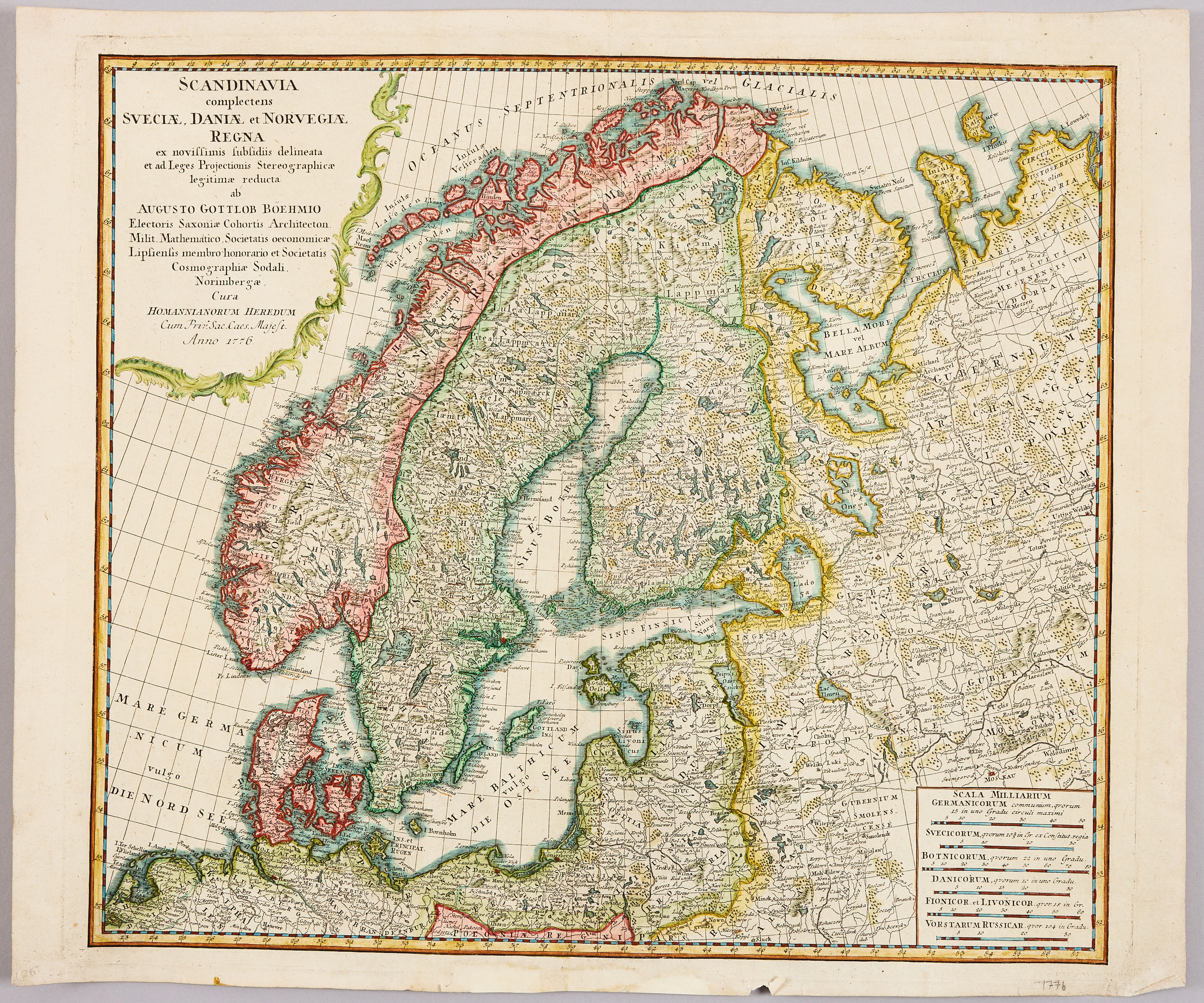
HOMANNS ARVINGAR, KARTA ÖVER SKANDINAVIEN, ca 1770.
10/09/2026
$110.1
估價: $120.35
讓您的拍賣觸及全球收藏家!
立刻發佈上架