
全部拍賣 / Books, Maps & Manuscripts / Lange /Bolstra - Leevenswys der oude Batavieren + oude...

Lange /Bolstra - Leevenswys der oude Batavieren + oude...
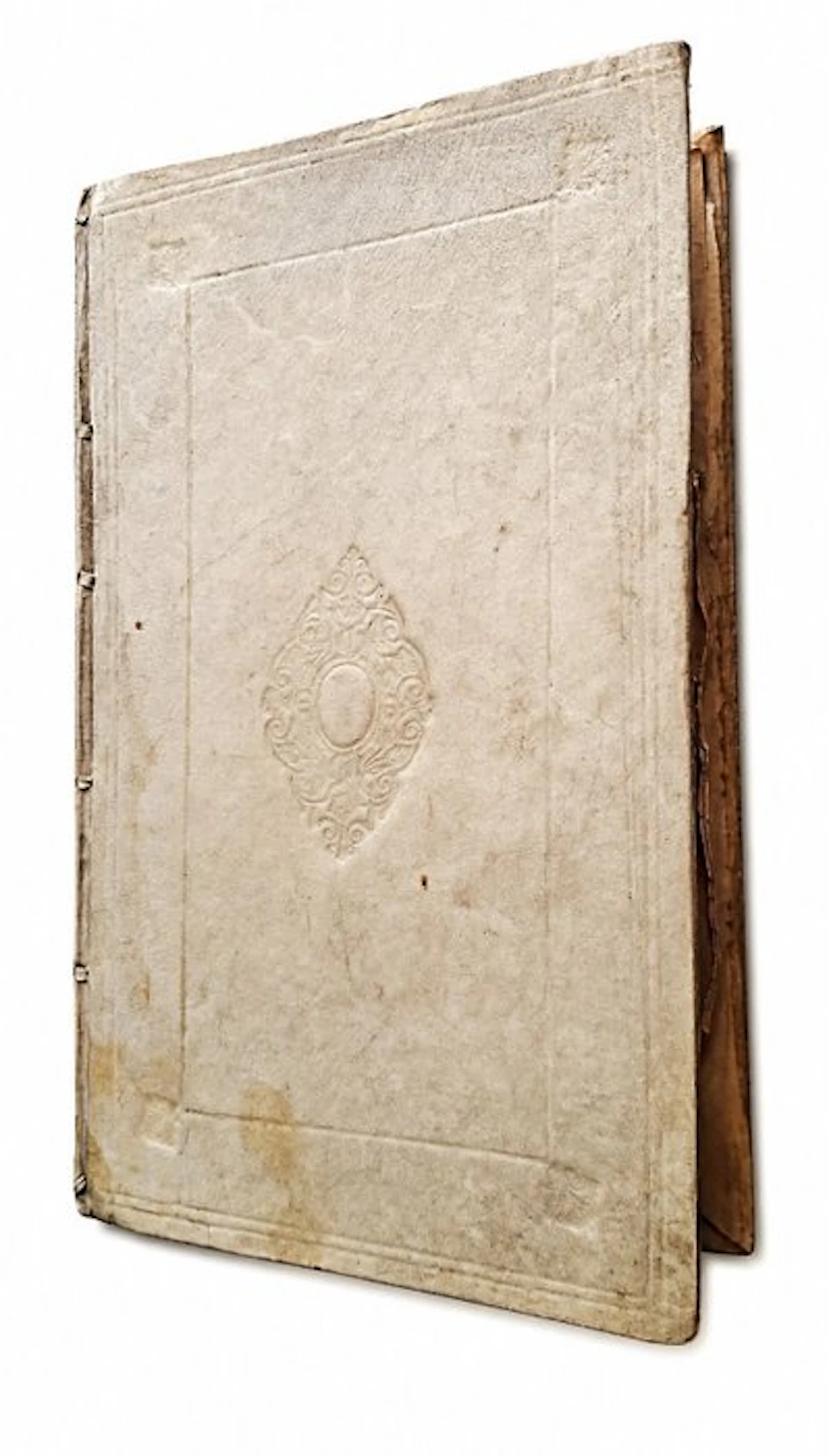
2 books in 1 volume 1 - Short treatise and explanation of the commonwealth’s government, and the life of the old Batavians, of the office and service of Counts, 2 - Description of the old Batavian sea-coast; together with Research whether France and England were previously separated by the Channel or whether there ever existed a land bridge. Splendid gift and beautiful condition. Calfskin (parchment) binding. Engraved frontispiece + [24] + 125 pages and [12] + 141 pages, plus 2 fold-out maps [of Walcheren and Schouwen]. A very good copy in original blind-stamped parchment with the title in ink on the spine. The maps and text are clean and bright. The "Short treatise and explanation of the commonwealth’s government" is a historical overview that explains the governance form of a republic, specifically focused on the life of the old Batavians and the role of the counts in early Dutch history. This type of writing served at the time to explain and legitimize the historical and legal roots of the Dutch constitutional state and the republican tradition. Core aspects of the commonwealth governance Power originally lay with the community (the people or the nobles), not with a single absolute prince. The old Batavians were seen as the founders of Dutch freedom and democratic decision-making. Counts were originally officials or servants of the commonwealth, with a specific office and dignity, rather than sovereign rulers. The government (governance) was primarily aimed at protecting the privileges and well-being of the entire community (the common good). The 2nd part, "Description of the old Batavian sea-strand" (often modernly spelled as sea-strait or sea-shore) 1753 written by Frans van Limborch and Melchior Bolstra. The work is an important 18th-century tract on the historic coastline of the then Netherlands and the surrounding waters. The book examines the geography of coastlines in antiquity and the early Middle Ages, specifically focusing on the areas around the mouths of the Rhine and the Maas (the land of the Batavians). The division between France and England: The book contains a thorough historical and physical investigation into the question of whether Great Britain and the European continent were ever separated by the Channel far in the past, or whether a land bridge ever existed. Caesar’s crossing: It is analyzed from which particular historical harbor Julius Caesar ventured to cross to England at the time. The island Brittia: The authors investigate ancient texts (such as those of the Byzantine historian Procopius) to determine the identity and location of the mysterious island Brittia. Historical cartography: The work was issued at the time with detailed historical maps to visually depict the assumed coastlines and sea-gates of the era.
估價:$201.68
前往拍賣頁查看所有物品來自Catawiki或Books, Maps & Manuscripts
估價:
$201.68
類似物品





類似物品的拍賣結果

LITTERATUR, tema Militaria, 5 delar, bl.a "Svärdet och värjan som
10/11/2026
$74.71
估價: $120
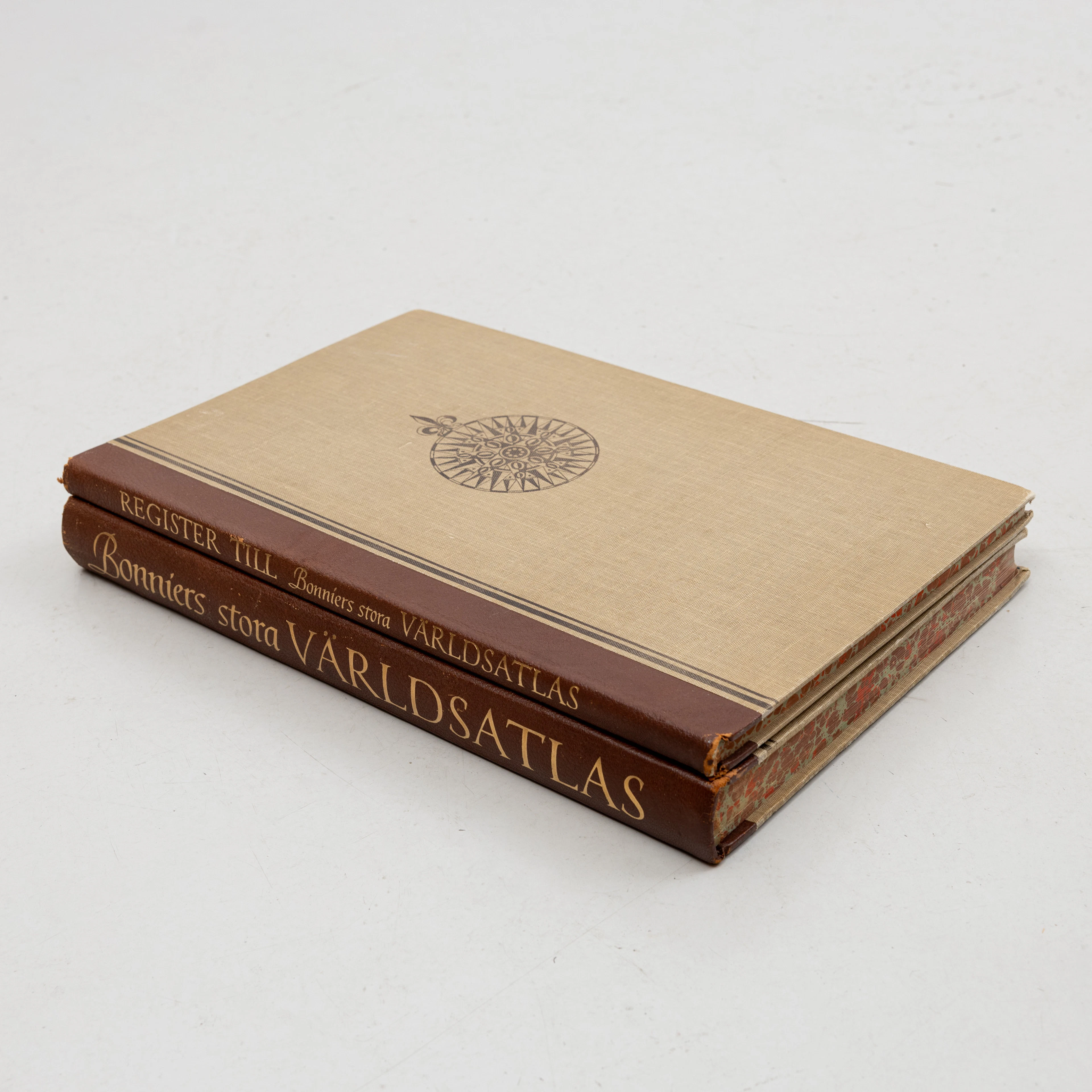
KARTBOK samt REGISTER,, FÖRSTORINGSGLAS, Bonniers Stora Världsatlas
10/11/2026
$69.73
估價: $119.52
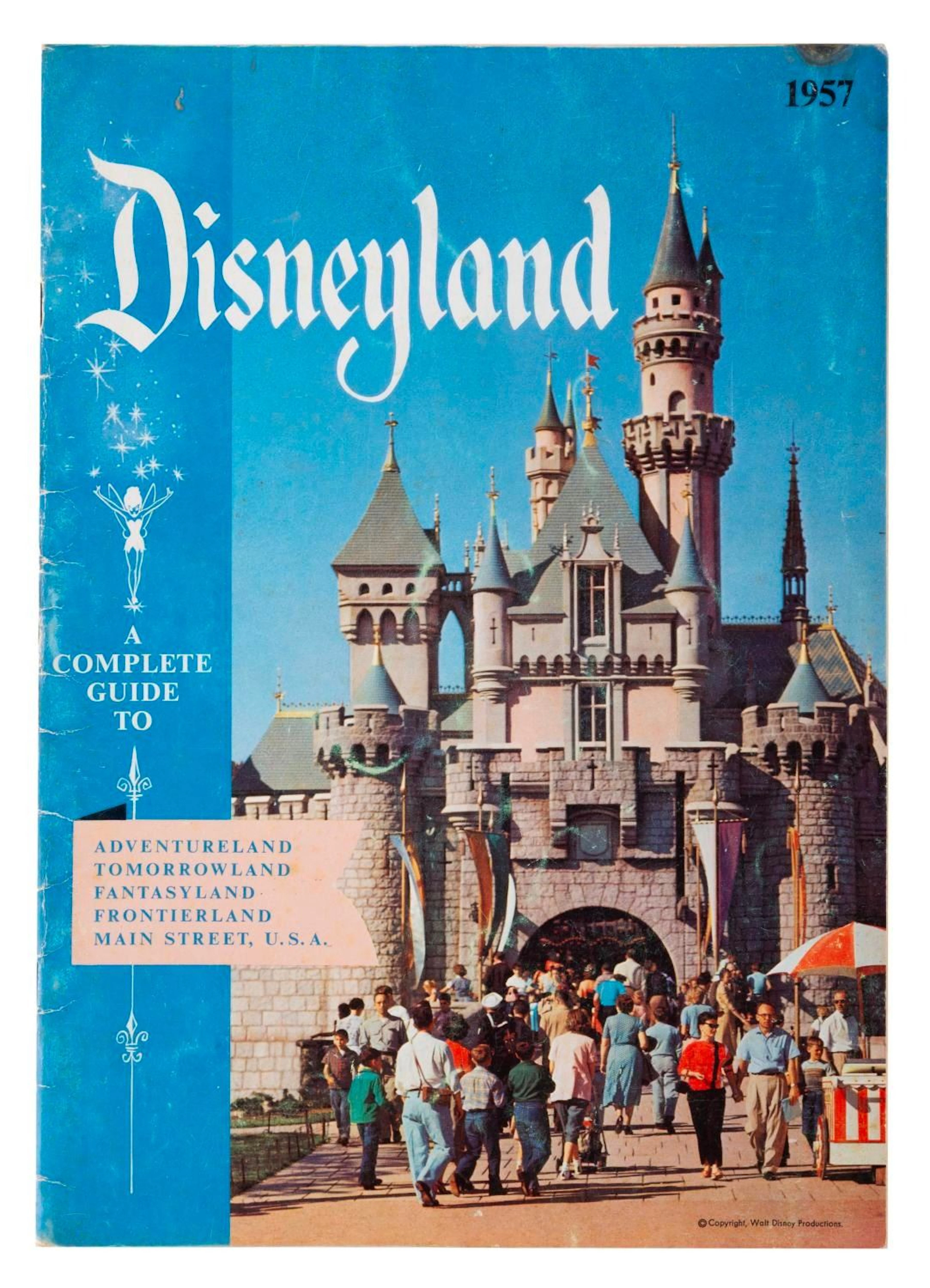

讓您的拍賣觸及全球收藏家!
立刻發佈上架