
拍品/italy vicenza georg braun s8sNpB9 632954934 / 在售
拍品/italy vicenza georg braun s8sNpB9 632954934
在售價格走勢
拍品/italy vicenza georg braun s8sNpB9 632954934
在售價格走勢
讓您的拍賣觸及全球收藏家!
立刻發佈上架全部拍賣 / Books, Maps & Manuscripts / Italy - Vicenza; Georg Braun

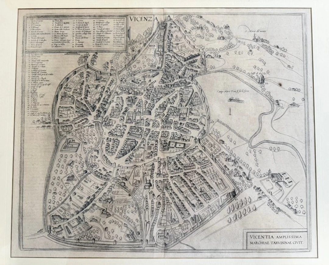
LRara and authentic original copper engraving from the 16th-17th century depicting the bird's-eye view prospect of the city of Vicenza. * Title of the work: VICENTIA AMPLISSIMA MARCHIAE TARVISINAE CIVIT. * Authors / Publishers: Georg Braun (1541–1622) and Frans Hogenberg (1535–1590) * From: Civitates Orbis Terrarum (Volume IV, published from 1588) * Technique: Copper engraving on period wove paper (uncolored / original black and white) * Dimensions of engraving/sheet only: about 37 × 45 cm * Dimensions with frame: 57 × 65 cm (framed with double glazing, included in the sale) History and Provenance of the Work This splendid perspective view represents one of the most famous and detailed historical representations of Vicenza. The work is taken from the Civitates Orbis Terrarum, the first monumental illustrated atlas dedicated to cities around the world, conceived and curated by the theologian Georg Braun and engraved by Frans Hogenberg together with renowned engravers of the time. The map offers an extraordinary aerial view of the Renaissance city enclosed within its historic walls, the Bacchiglione and Retrone rivers, and highlights with remarkable precision the urban planning and architectures of the era. At the bottom right is a rich, numbered legend listing the main monuments, churches and palaces of the city. Authenticity, Back and watermark The work is guaranteed original to the period (16th-17th century) and presents important elements of rarity and critical examination: 1. Back printed with Latin text: On the reverse of the sheet is a detailed historical description titled "VICENTIA", bearing at the bottom pagination 47 in period typographic movable type, typical of Latin print runs published between 1588 and 1612. 2. Watermark from the period seen in backlight: The handmade rag paper at the vat preserves at the center a clear period watermark depicting a heraldic shield. The type of factory mark, together with the texture of the “vergelle” and “catenelle” of the paper, allows us to confirm with certainty the paper’s manufacture between the late 1500s and the very early 1600s. Framing and Condition * Frame and mounting: The map is enclosed in a modern quality frame (57 × 65 cm) with front and back double glass, an ideal solution that allows admiring and protecting both the frontal view of the city and the historical text and watermark visible when held to the light on the back. * Condition: Good overall. The engraving line is sharp, strong and well preserved; the paper is intact and free of tears or gaps. It shows natural age yellowing and slight foxing, entirely consistent and normal for a sheet over 400 years old. * Shipping: Sold including the frame. It will be packed extremely carefully with ample bubble wrap and anti-shock protection to ensure total security of shipment.
估價:$341.72
前往拍賣頁查看所有物品來自Catawiki或Books, Maps & Manuscripts
估價:
$341.72

讓您的拍賣觸及全球收藏家!
立刻發佈上架
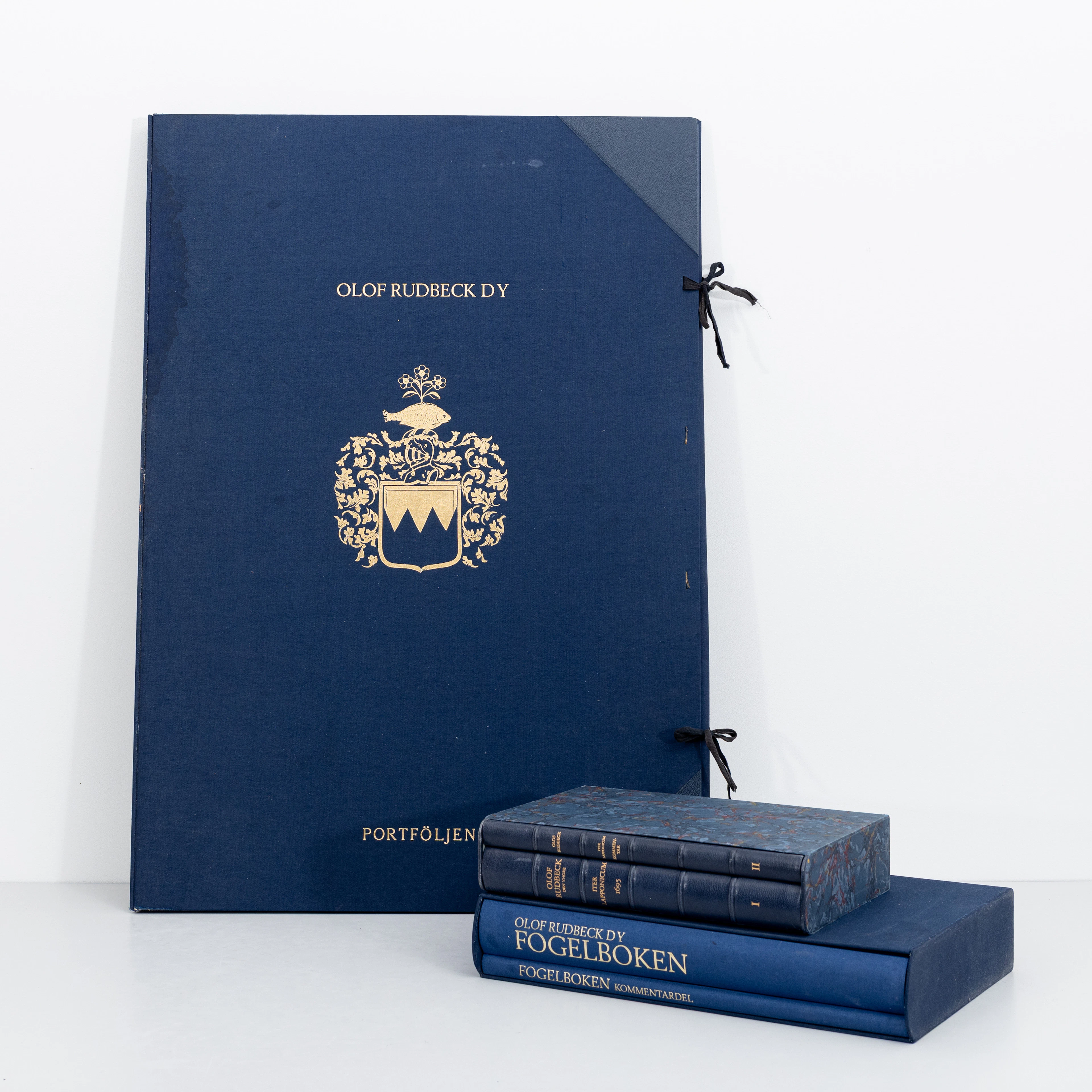
OLOF RUDBECK D.Y. Faksimilutgåvor, portfölj med planscher samt 2 st
09/29/2026
$159.85
估價: $301.17
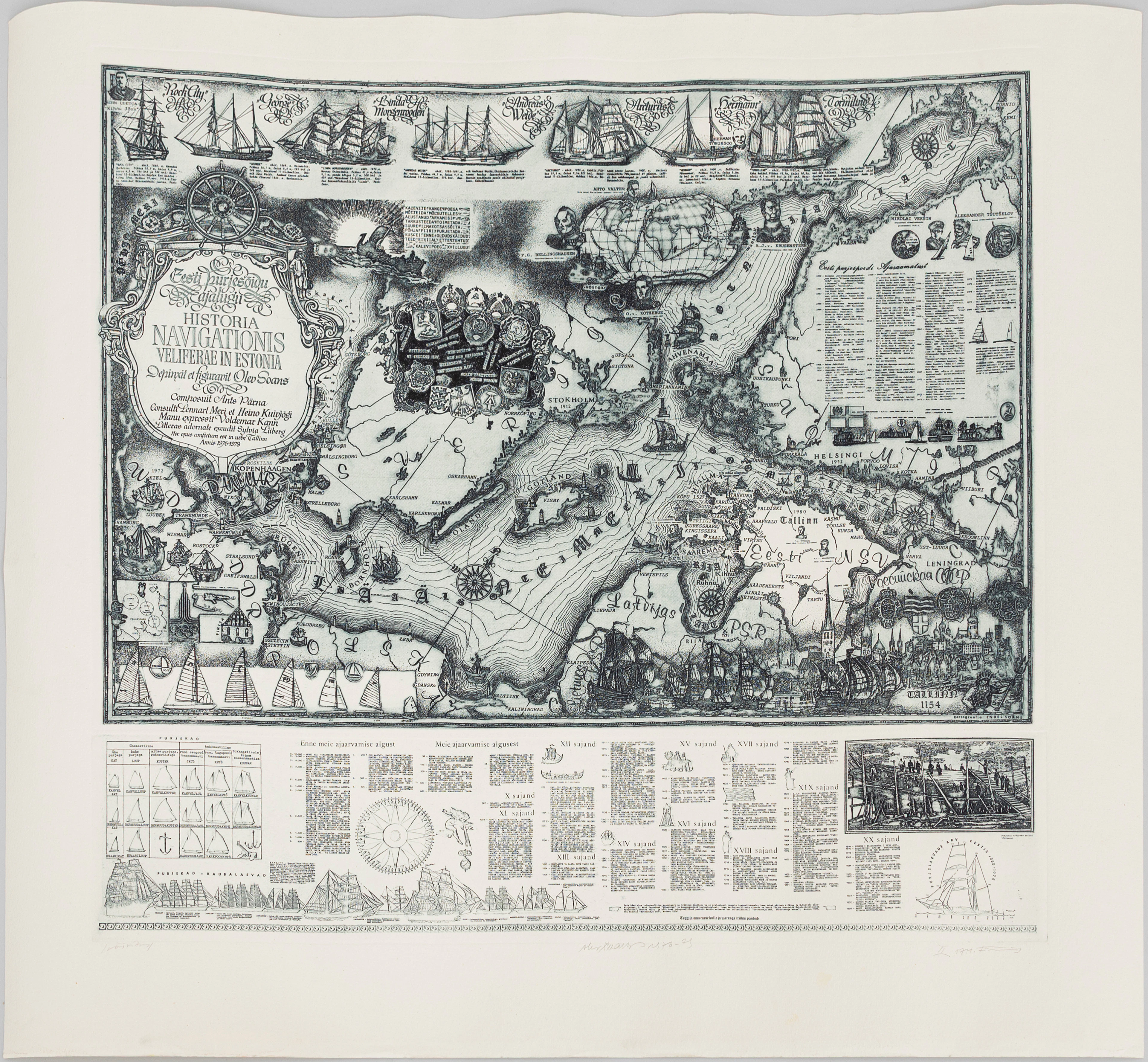
OLEV SOANS (ESTLAND, 1925–1995). "Historia navigationis Velieferae
09/29/2026
$208.5
估價: $250.98




