
全部拍賣 / Books, Maps & Manuscripts / Greece - Cyprus

Greece - Cyprus
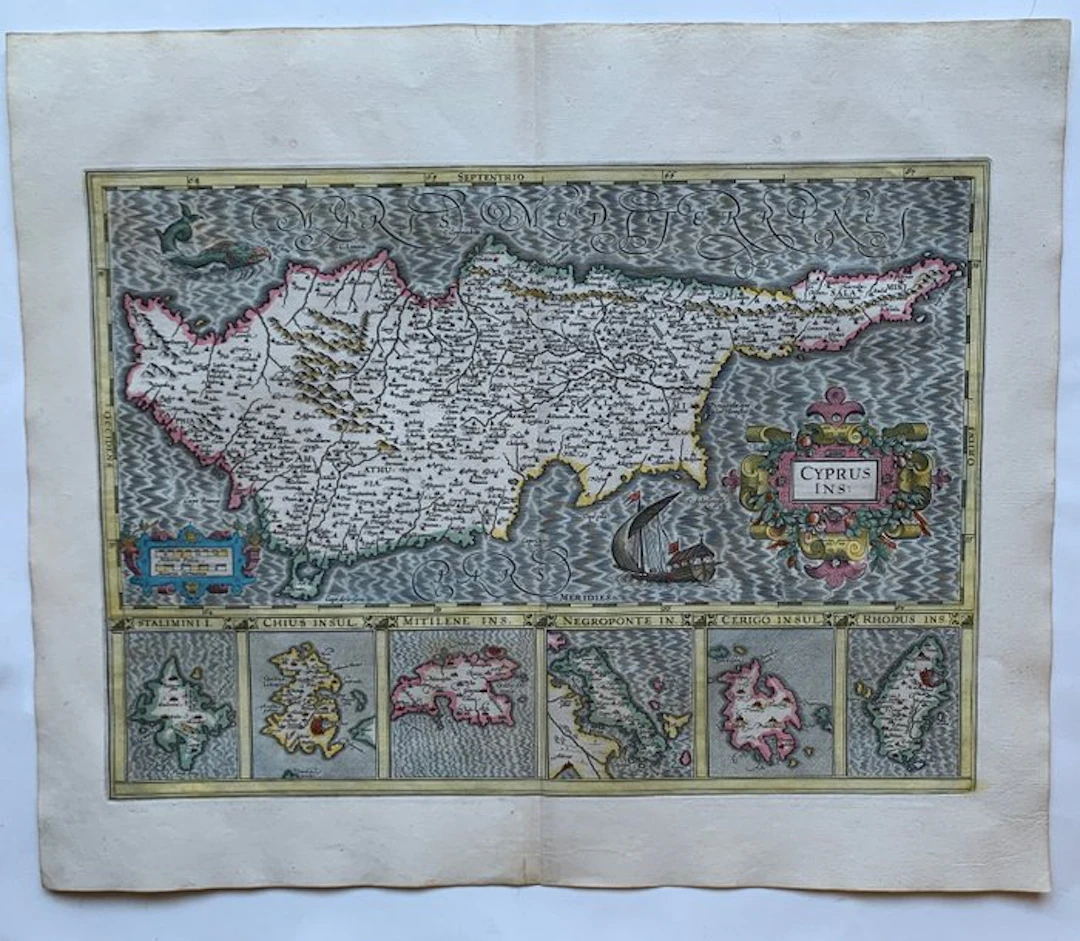
G. Mercator/H. Hondius, Cyprus Ins:/ Stalimini I./ Chius Insul./Mitilene Ins./Negroponte In./ Cerigo Insul./ Rhodus Ins. Amsterdam 1628. Beautiful, original hand-colored map of Cyprus and 6 other Greece islands. An incredibly famous, highly decorative, and historically significant 17th-century copperplate engraved multi-inset map titled "Cyprus Ins.". Originally masterfully engraved by the foundational geographer Gerard Mercator (1512–1594), this map was published and updated in Amsterdam by Henricus Hondius for the legendary Mercator-Hondius Atlas Major. This specific composition is widely considered one of the most beautiful and sought-after atlas maps of the Eastern Mediterranean. The main body of the engraving features a large, exceptionally detailed horizontal map of the island of Cyprus, plotting its rugged mountain ranges, coastal fortifications, rivers, and internal administrative divisions during the period of Ottoman rule. Running along the bottom border are six distinct, beautifully executed island inset panels detailing strategically important Greek islands in the Aegean and Ionian seas: 1. Lemnos (Stalimini I.) 2. Chios (Chius Insul.) 3. Lesbos (Mitilene Ins.) 4. Euboea (Negroponte In.) 5. Kythira (Cerigo Insul.) 6. Rhodes (Rhodus Ins.) The open waters of the Mediterranean Sea (Maris Mediterranei Pars) are embellished with Mercator’s beautiful signature stippling pattern, a fine engraving of a localized sea monster breaching in the top left, and a classical sailing vessel flying flags in the lower center. Dimensions: 35 x 49 cm (engraving), 48 x 57,2 cm (paper). Very good condition.
估價:$616.12
前往拍賣頁查看所有物品來自Catawiki或Books, Maps & Manuscripts
估價:
$616.12
類似物品



類似物品的拍賣結果

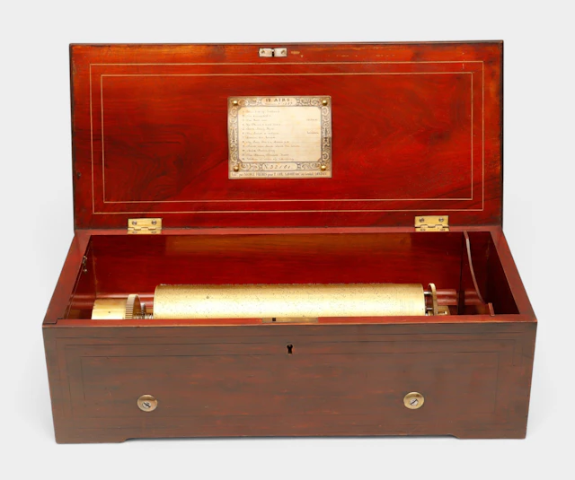
Caja de música suiza de doce canciones de Nicole Frères, hacia 1848-1852.
10/22/2026
$1,512.31
估價: $1,460.33
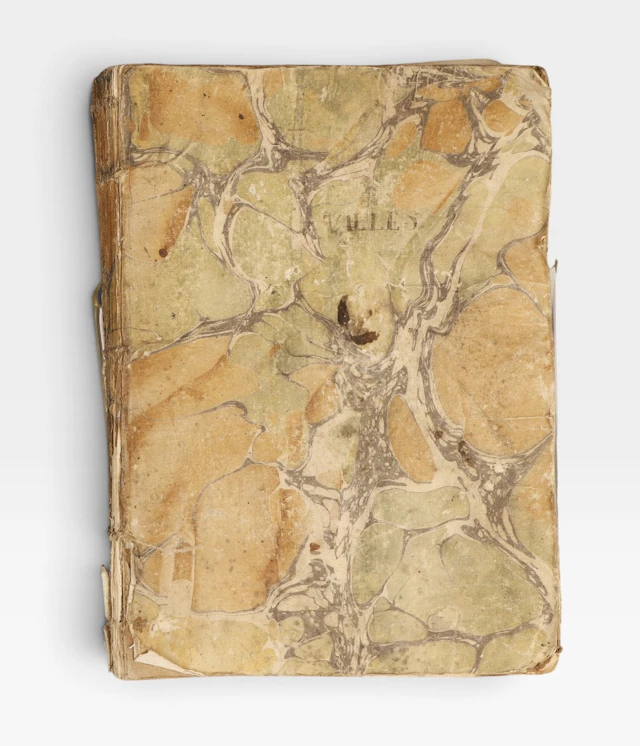
Guerra de la Independencia, Cataluña, 1808-1809.
10/22/2026
$145.63
估價: $157.63
讓您的拍賣觸及全球收藏家!
立刻發佈上架