
全部拍賣 / Books, Maps & Manuscripts / France - Upper Alsace Landgraviate

France - Upper Alsace Landgraviate
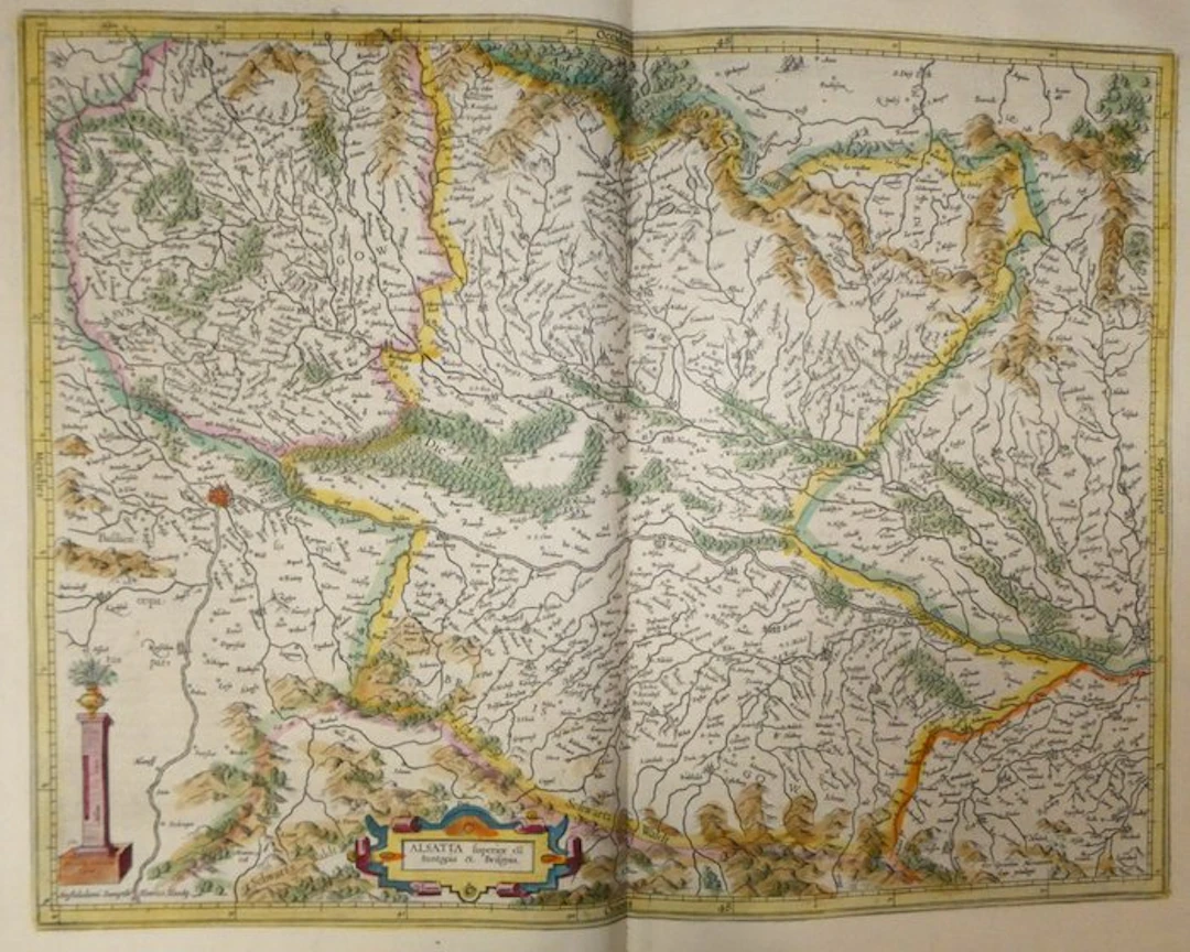
Ancient copper-engraved map, hand-enhanced, of Upper Alsace, Sundgau, and Breisgau by Mercator, published in 1633 in the Mercator-Hondius atlas. It shows the course of the Rhine from Basel to Strasbourg, the map being oriented to the west. The title is inscribed in a cartouche with volutes, heightened in blue, red and yellow, placed at the bottom of the map. The scale ("Miliaria communia Alsatiae") is engraved on a column set on a plinth and topped with a vase adorned with foliage. The Vosges ("Auf der Furst") and the Black Forest ("Schwartz Waldt") are depicted by shaded mounds, and the Hart Forest ("Die Hartt") by small trees. The cities of Basel, Mulhouse, Colmar, Sélestat, Breisach, Fribourg and Belfort are indicated, as well as numerous villages, rivers and lakes in the Vosges. The territorial boundaries are outlined with yellow, pink, green and orange borders. At the bottom right of the map is the engraved signature « Per Gerardum Mercatorem Cum privilegio » and at the bottom left the address « Amstelodami Sumptibus Henrici Hondij ». On the reverse, descriptive French text paginated 461 and 464 ("Haute Alsace Landgraviat, et Suntgow et Brisgow"; "Suntgow"), with an ornamented initial. - Dimensions: sheet 56 x 47.5 cm; plate (map) 46.9 x 35.3 cm - Condition: Very good overall for a map of this period. Presence of small marks. See photos for more details. Atlas Mercator-Hondius - The atlas called "Mercator-Hondius" reprises the work of Gerard Mercator, whose copperplates were bought back by Jodocus Hondius in 1604. This French edition of 1633 is signed by his son Henricus Hondius and his son-in-law Joannes Janssonius, who enlarged it with new maps. Gerard Mercator – Gerard Mercator (Rupelmonde, 1512 – Duisburg, 1594), a Flemish cartographer, mathematician and engraver, studied at the University of Leuven. Settling in Duisburg in 1552, he published in 1569 the world map drawn according to the projection that bears his name. He devoted the end of his life to a collection of maps entitled “Atlas”, issued in parts from 1585 and completed by his son Rumold in 1595. The copperplates were acquired in 1604 by Jodocus Hondius (1563-1612), who reissued and expanded the work in Amsterdam. His son Henricus Hondius (1597-1651), whose address appears on this map, continued its publication.
估價:$168.03
前往拍賣頁查看所有物品來自Catawiki或Books, Maps & Manuscripts
估價:
$168.03
類似物品



類似物品的拍賣結果
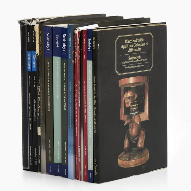
AUKTIONSKATALOGER, 15 st mellan 1983-2009, Sotheby's - Chtisties.
10/23/2026
$55.47
估價: $100.93
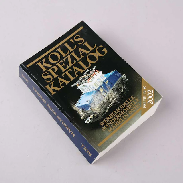
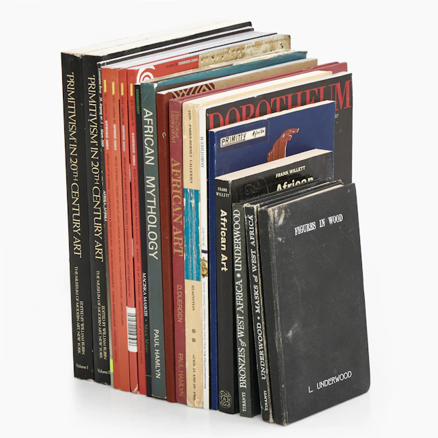
BÖCKER, TIDSKRIFTER, diverse om primitivism och afrikansk konst, bl.a. Tribal.
10/23/2026
$55.37
估價: $100.93

ANDREAS LUNDBERG (född 1973). "TRUST", monogramsignerad samt numrerad
10/23/2026
$100.68
估價: $201.76
讓您的拍賣觸及全球收藏家!
立刻發佈上架