
全部拍賣 / Books, Maps & Manuscripts / Europe - Europe; L

Europe - Europe; L
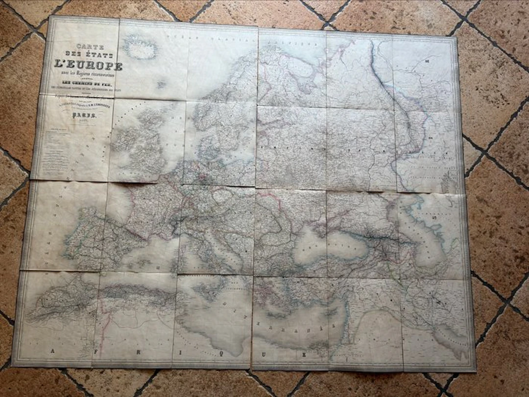
The letter illustrates the development of railway lines and maritime navigation routes in Europe during the 19th century, offering a precious snapshot of transport and political borders of the era. The outer cover is a bit worn and measures 26.5 cm in length and 22.5 cm in width. The maps measure 25 cm in height and 67.5 cm in width (unit measurement). The back is linen- or cotton-backed and features classic foxing, stains and patina consistent with an object from the second half of the 19th century.
估價:$168.44
前往拍賣頁查看所有物品來自Catawiki或Books, Maps & Manuscripts
估價:
$168.44
類似物品






類似物品的拍賣結果
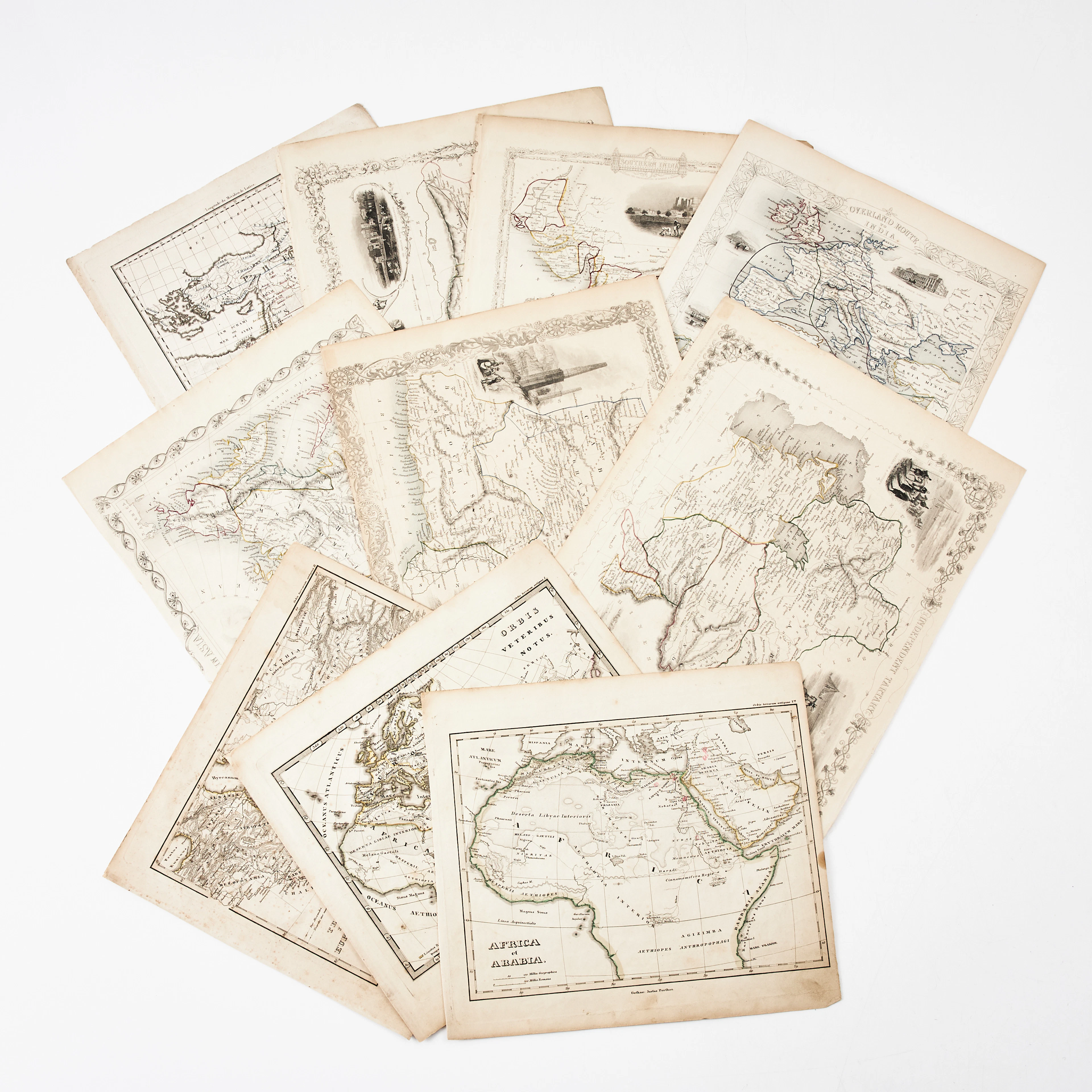
KARTOR 10 ST, bl.a. INDIEN, AFRIKA m.fl., 1800-tal.
10/18/2026
$30.23
估價: $151.32


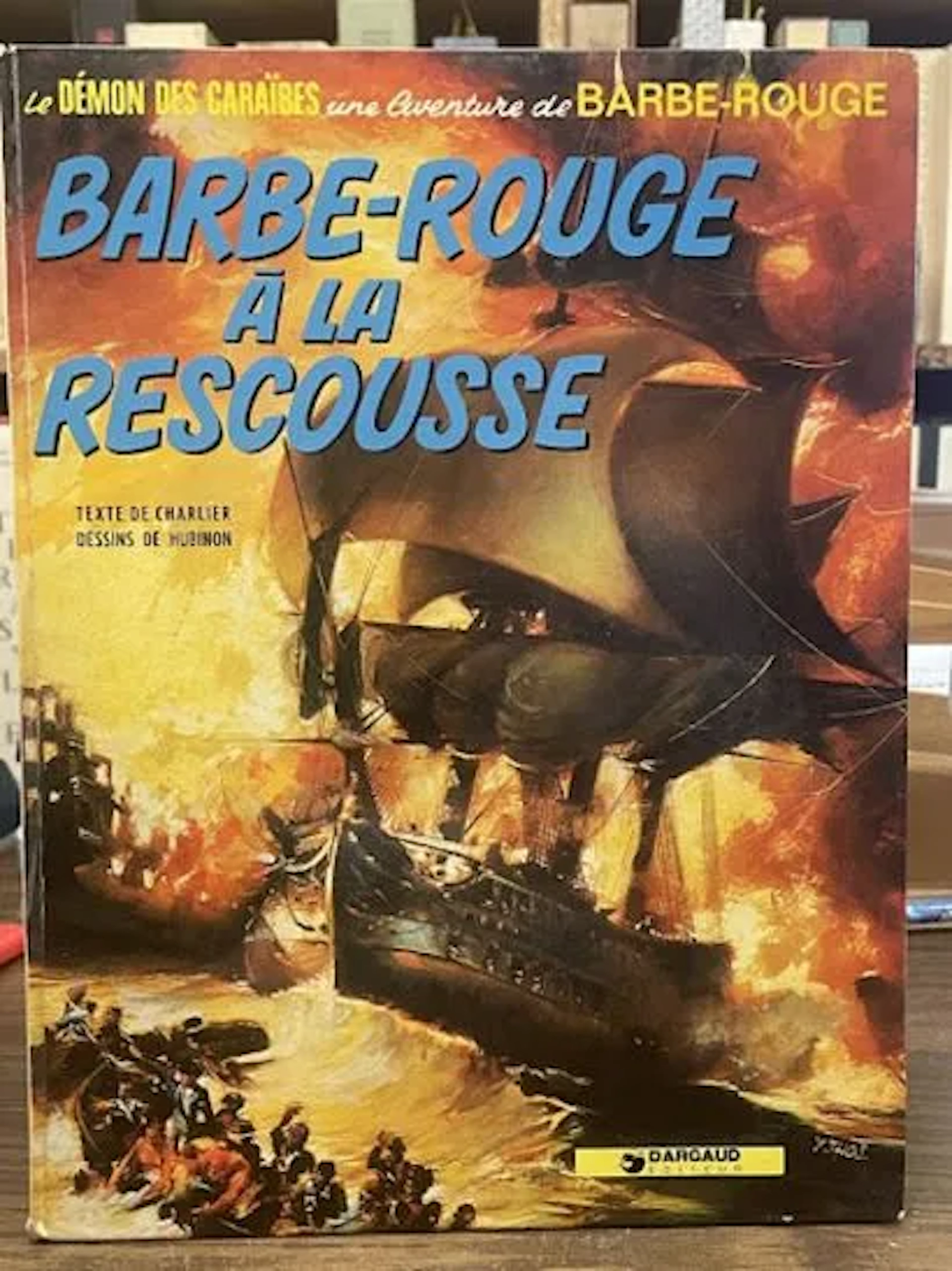
Redbeard Comic Book - Redbeard to the Rescue - Dargaud Repri - Lot 79
10/18/2026

$3.36
估價: $16.85
讓您的拍賣觸及全球收藏家!
立刻發佈上架