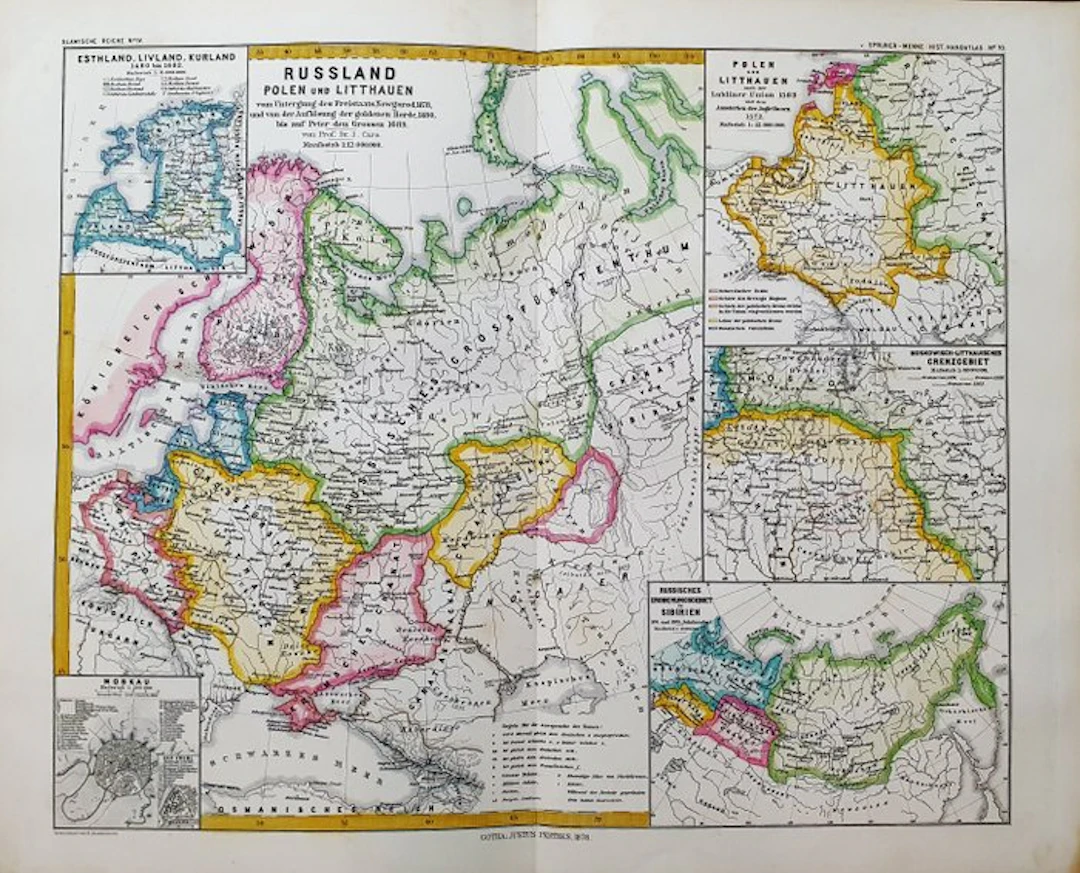
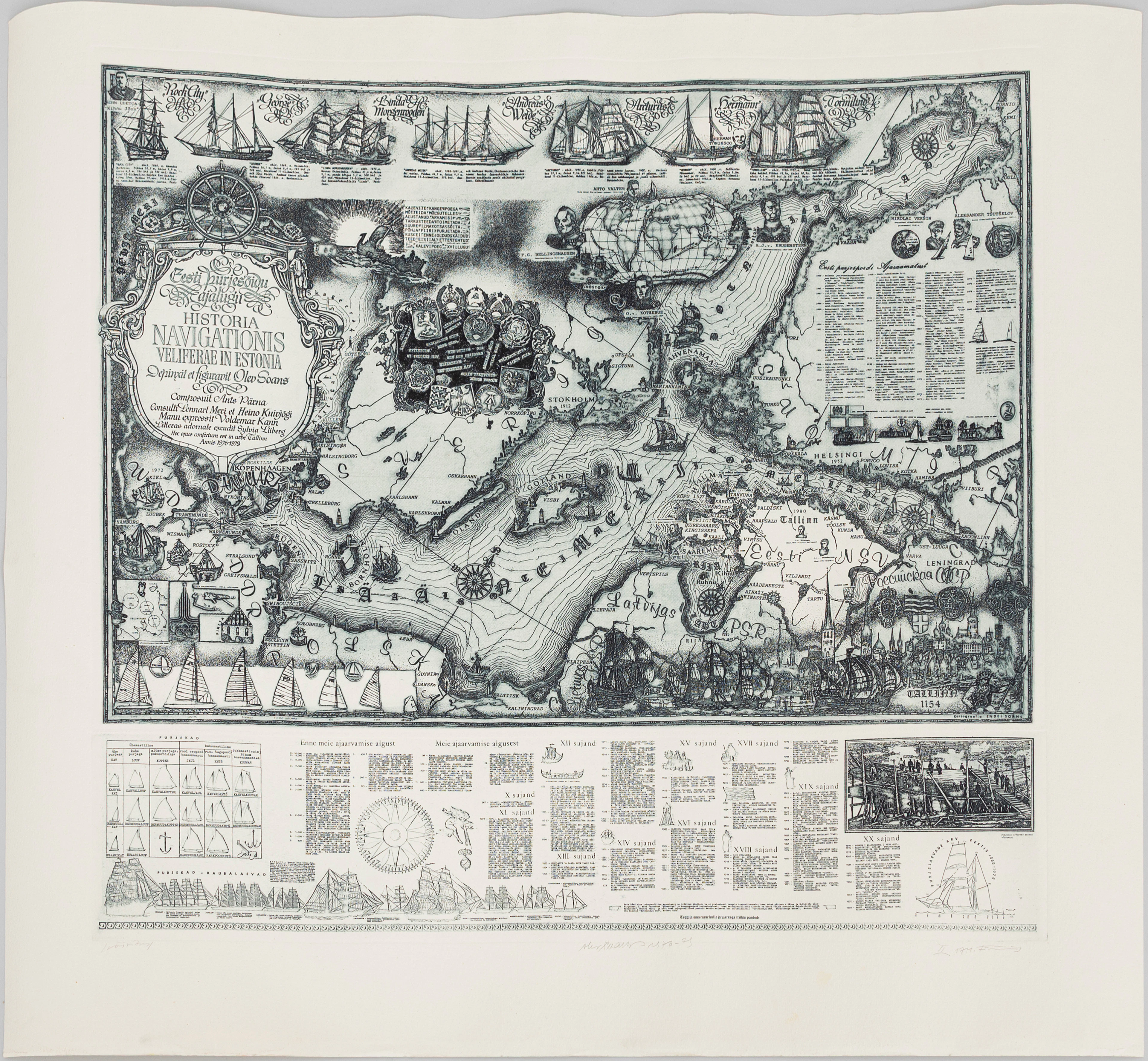
Europe - Eastern Europe / Poland / Lithuania / Russia / Livonia; K
This Folio Geographical Map is an original copperplate engraving from 1870. This is the edition by KARL V. SPRUNER published in 1870 in his Atlas, bearing the title: "Historisch - Geographischer Hand-Atlas zur Geschichte der Staaten Europas Berlin, 1870". Map published in GERMANY, with excellent coloring, ample margins, and geographically well detailed in every point. Condition: the conditions are very good as shown in the photo. The overall measurements of the map are: 48 cm x 39 cm.
估價:$2.27
前往拍賣頁查看所有物品來自Catawiki或Books, Maps & Manuscripts