
全部拍賣 / Books, Maps & Manuscripts / Denmark - Northern Jutland and the North of Central...

Denmark - Northern Jutland and the North of Central...
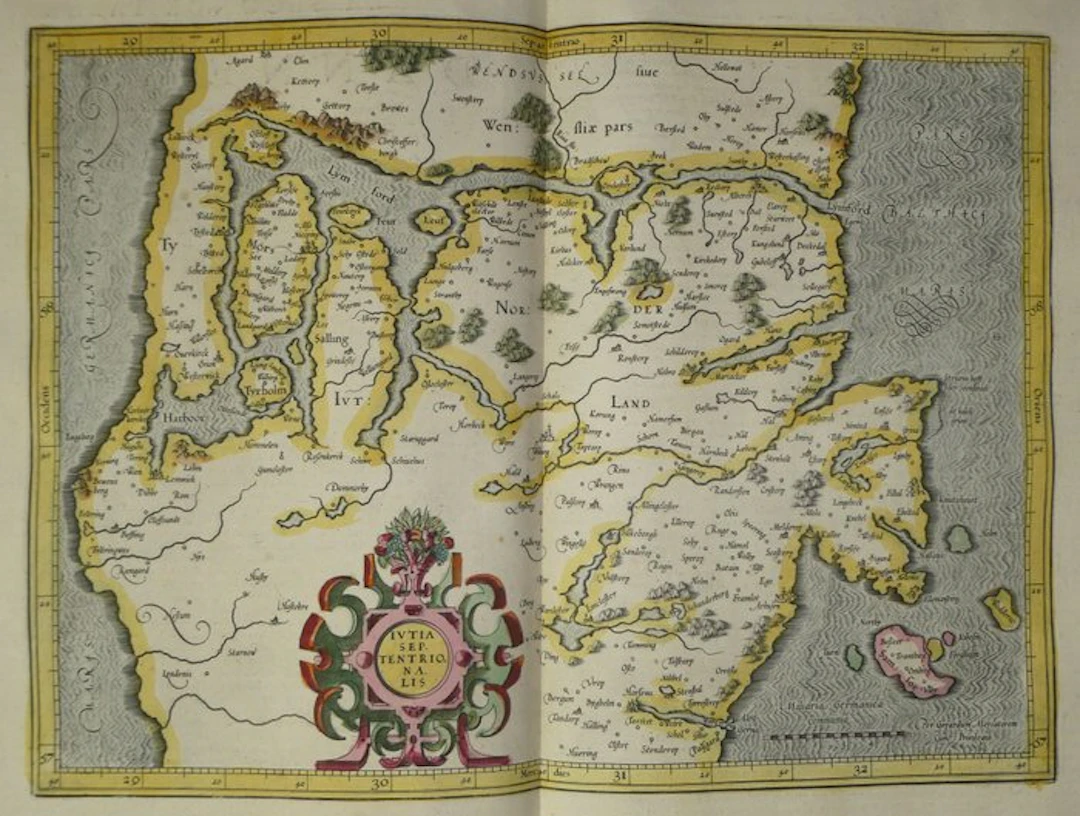
Copper-engraved old map of northern Jutland (Denmark), hand-enhanced, by Mercator, published in 1633 in the Mercator Hondius atlas. It shows the Limfjord, which crosses the peninsula from west to east. It encloses the islands of Mors, Fejø and Salling, as well as the Thy peninsula to the west. The regions of Wendsyssel (part), North Jutland, and Salling are inscribed on the map. The towns of Aalborg, Viborg, Randers, and Aarhus are depicted here. The title cartouche, cut from leather, is topped with a horn of plenty of fruits and grapes. It is colored in pink, green, red and yellow. The scale is given in German miles, and the frame is graduated in degrees. To the east, the Baltic Sea is represented with the island of Samsø, colored pink, as well as the nearby islets. The relief is depicted by hachured hills and woods in perspective. The seas are engraved with wavelets, with large ornate lettering. The inscription “Per Gerardum Mercatorem Cum Privilegio” appears at the bottom right. French text on the verso, pages 161 and 164: “La seconde table de Dannemarc, portant la partie septentrionale de la Iutie”. - Dimensions: sheet: 56 x 47.5 cm; plate (map): 46.9 x 35.3 cm - Condition: Good overall for a map of this period. Presence of a central vertical fold, two small holes at the upper margin, and slight stains. See photos for more details. Atlas Mercator-Hondius - The atlas known as “Mercator-Hondius” carries on the work of Gerard Mercator, whose copperplates were purchased by Jodocus Hondius in 1604. This French edition of 1633 is signed by his son Henricus Hondius and his son-in-law Joannes Janssonius, who added new maps. Gerard Mercator – Gerard Mercator (Rupelmonde, Flanders, 1512 – Duisburg, 1594) studied at the University of Louvain. There he produced a terrestrial globe (1541) and then a celestial globe (1551). Settling in Duisburg from 1552, he published in 1569 a map projection-based planisphere suitable for navigation. His son Rumold published in 1595, after his death, the Atlas Sive Cosmographicae Meditationes, the first collection of maps designated under the name “atlas.” In 1604, Jodocus Hondius bought the copperplates. Subsequent editions, including the 1633 one, were published under the name Mercator and Hondius.
估價:$392.44
前往拍賣頁查看所有物品來自Catawiki或Books, Maps & Manuscripts
估價:
$392.44
類似物品





類似物品的拍賣結果
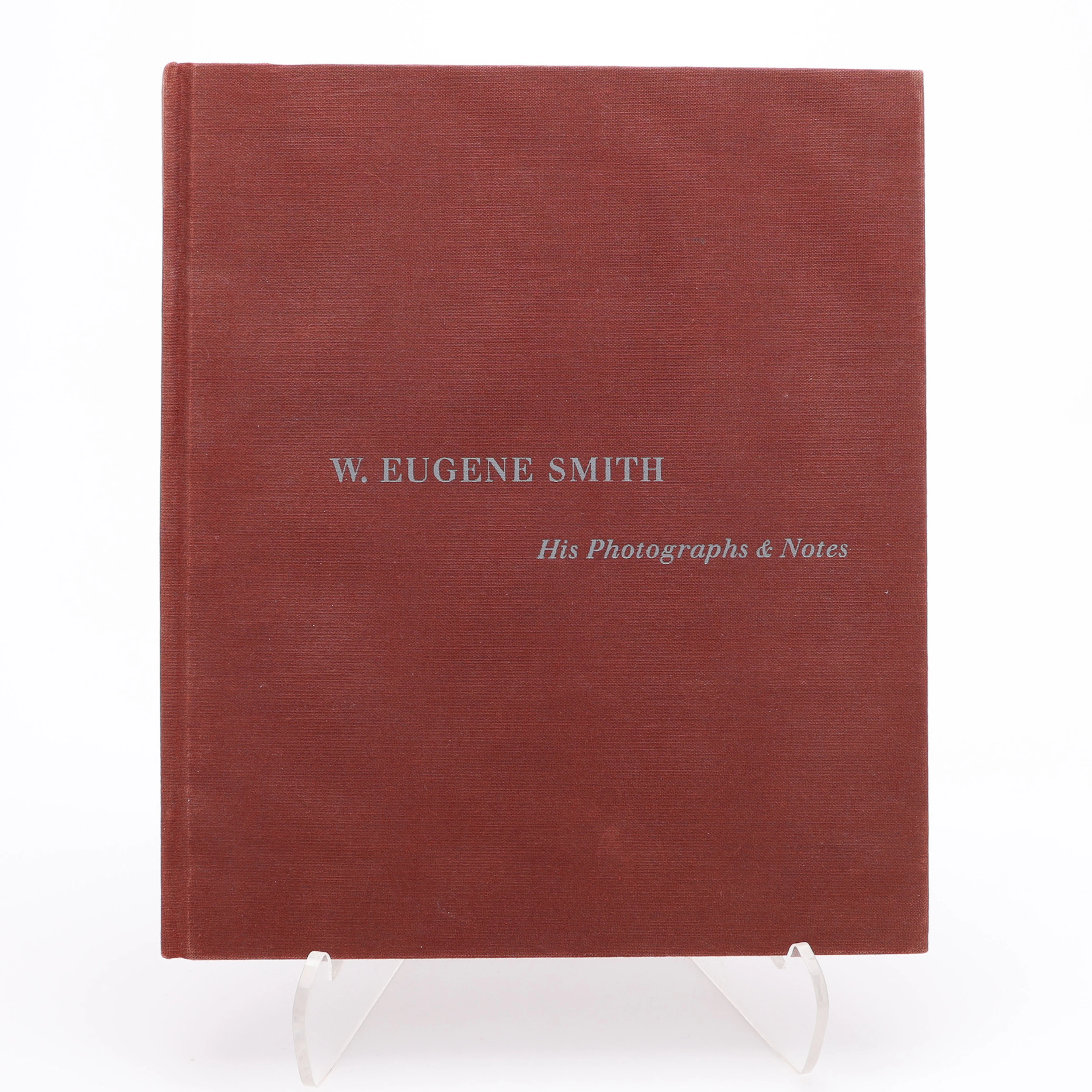
W. EUGENE SMITHS APERTUREMONOGRAFI "W. EUENE SMITH: HIS PHOTOGRAPHS
10/08/2026
$30
估價: $34.86
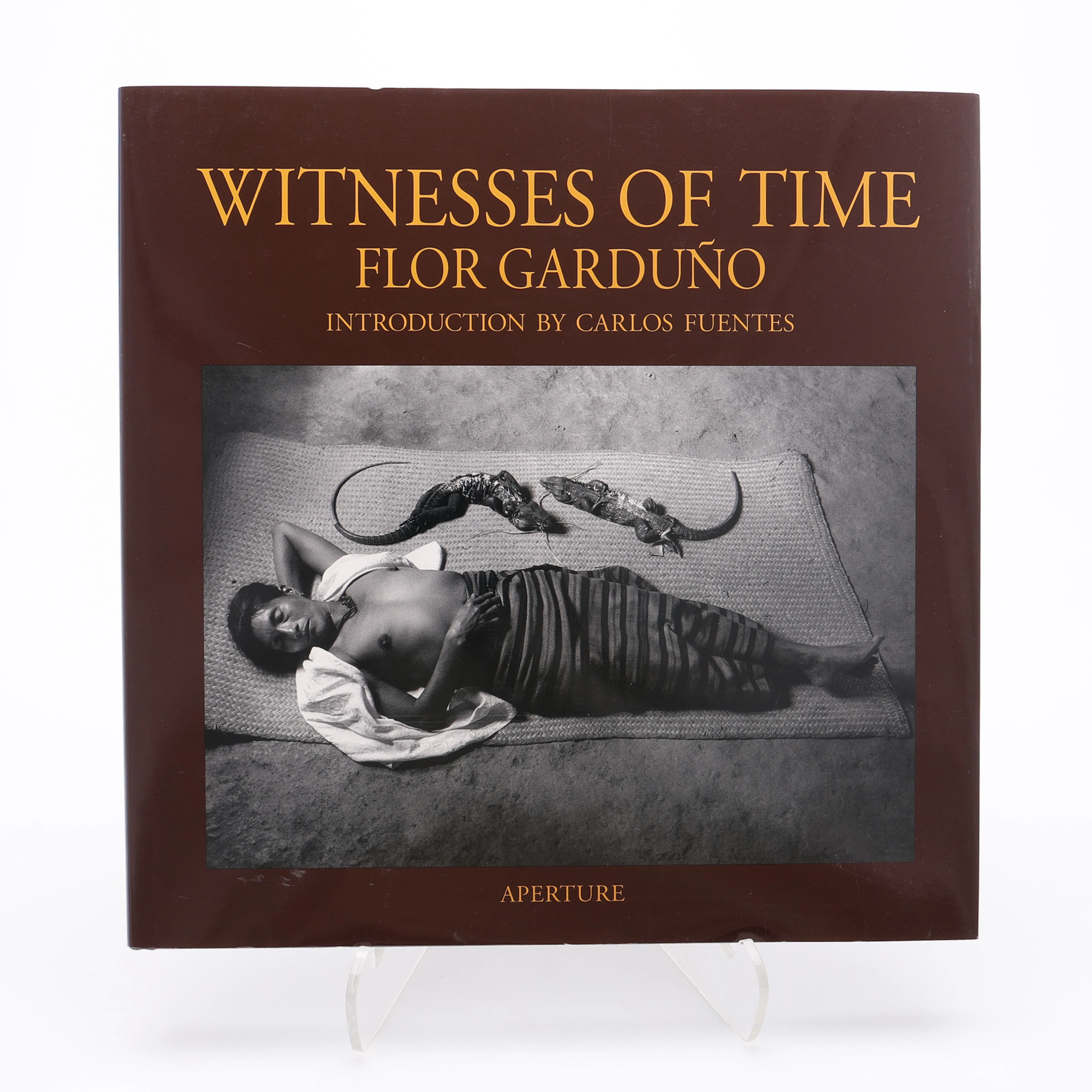
FLOR GARDUÑOS APERTURE-MONOGRAFI "WITNESS OF TIME", 2000.
10/08/2026
$30
估價: $40

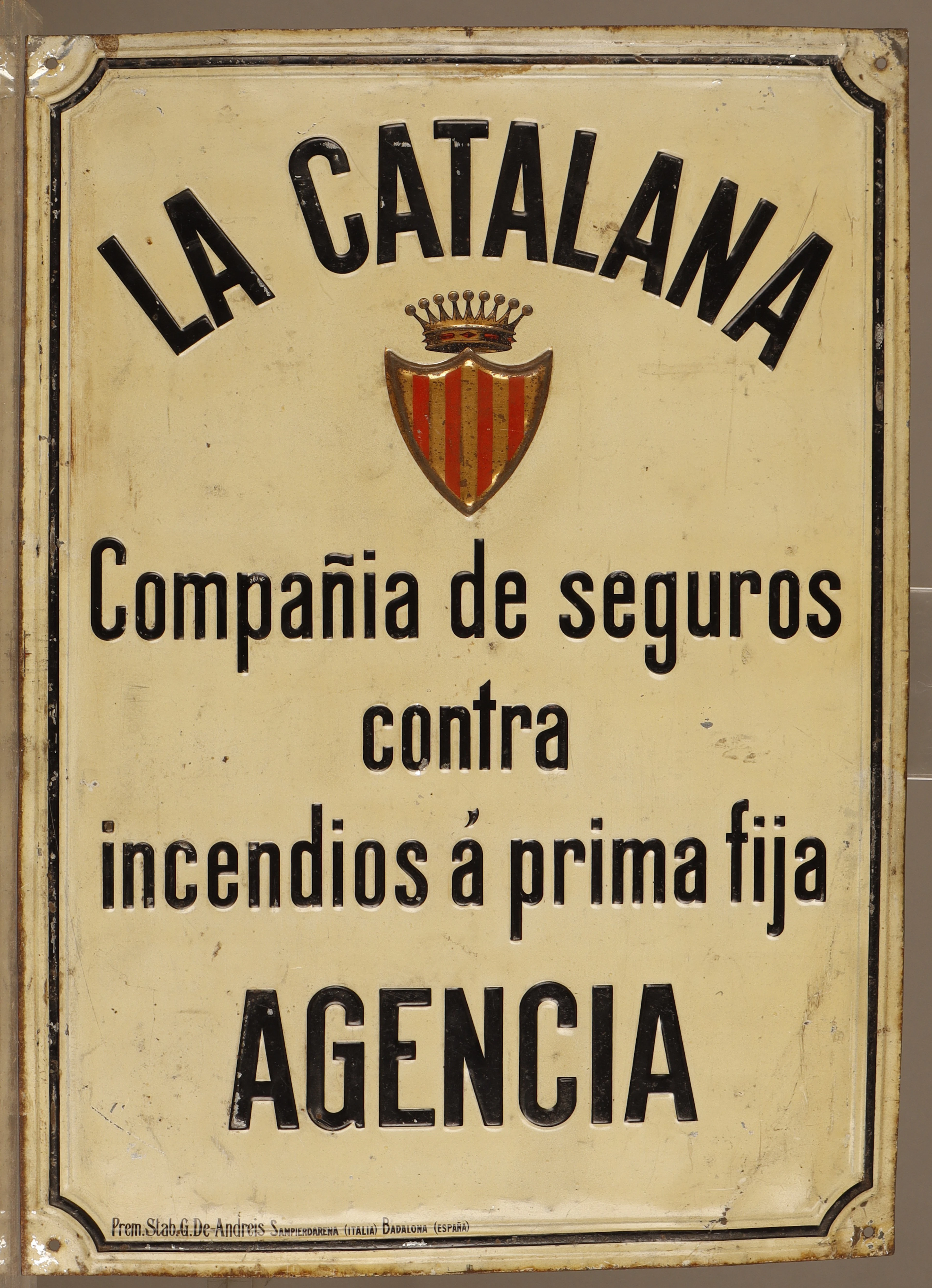
La Catalana, placa publicitaria en hojalata estampada y pintada.
10/08/2026
$145.65
估價: $114.64
讓您的拍賣觸及全球收藏家!
立刻發佈上架