拍品/denmark funen the island of fyn funen gacZYcN 633270777 / 在售
拍品/denmark funen the island of fyn funen gacZYcN 633270777
在售拍賣結果
拍品/denmark funen the island of fyn funen gacZYcN 633270777
在售拍賣結果
讓您的拍賣觸及全球收藏家!
立刻發佈上架全部拍賣 / Books, Maps & Manuscripts / Denmark - Funen: the island of Fyn (Funen)

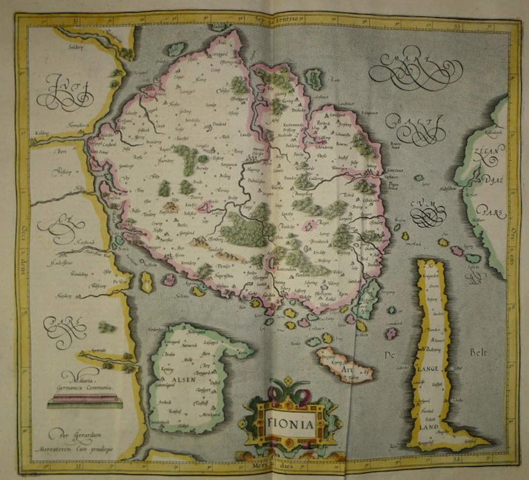
Old copper-engraved map of Fyn (Fionia) hand-enhanced by Mercator, published in 1633 in the Mercator-Hondius atlas." It shows the island of Fionie (Fyn) at the center, with Odense ("Ottonia Odensee"), Nyborg, Assens, Svendborg and Faaborg. The rivers and wooded ranges are drawn in perspective. The neighboring islands of Als, Ærø, Langeland and Tåsinge are colored in distinct tones, as well as numerous islets in the Little and Great Belt. Part of Jutland appears on the left, with Kolding, Haderslev and Aabenraa, and part of Zealand on the right. The title cartouche "FIONIA", adorned with cut leather and ribbons, is placed at the bottom. The scale of German miles ("Miliaria Germanica Communia") is engraved at the bottom left. The mentions "Mare Balticum" and Mercator’s signature are written in ornate cursive letters. The frame is graduated. Text in French on the verso (pp. 169 and 172), devoted to the fourth table of Denmark, with a decorated initial. - Dimensions: on the sheet: 56 x 47.5 cm; on the plate (map): 46.9 x 35.3 cm - Condition: Good overall for a map of this period. Presence of a vertical central fold, two holes in the upper margin, and light stains. See photos for more details. Atlas Mercator-Hondius - The atlas called "Mercator-Hondius" reprises the work of Gerard Mercator, whose copper plates were bought back by Jodocus Hondius in 1604. This French edition of 1633 is signed by his son Henricus Hondius and his son-in-law Joannes Janssonius, who augmented it with new maps. Gerard Mercator - Gerard Mercator (Rupelmonde, 1512 – Duisburg, 1594) was a Flemish cartographer, geographer and engraver. Trained at Louvain, he produced a terrestrial globe there in 1541, then settled in Duisburg. In 1569, he developed the projection that bears his name. His Atlas was published posthumously in 1595 by his son Rumold. Jodocus Hondius bought the plates in 1604 and continued the edition in Amsterdam, with Henricus Hondius, who signs the address of 1627 carried on this map."
估價:$190.41
前往拍賣頁查看所有物品來自Catawiki或Books, Maps & Manuscripts
估價:
$190.41
讓您的拍賣觸及全球收藏家!
立刻發佈上架
$350.62
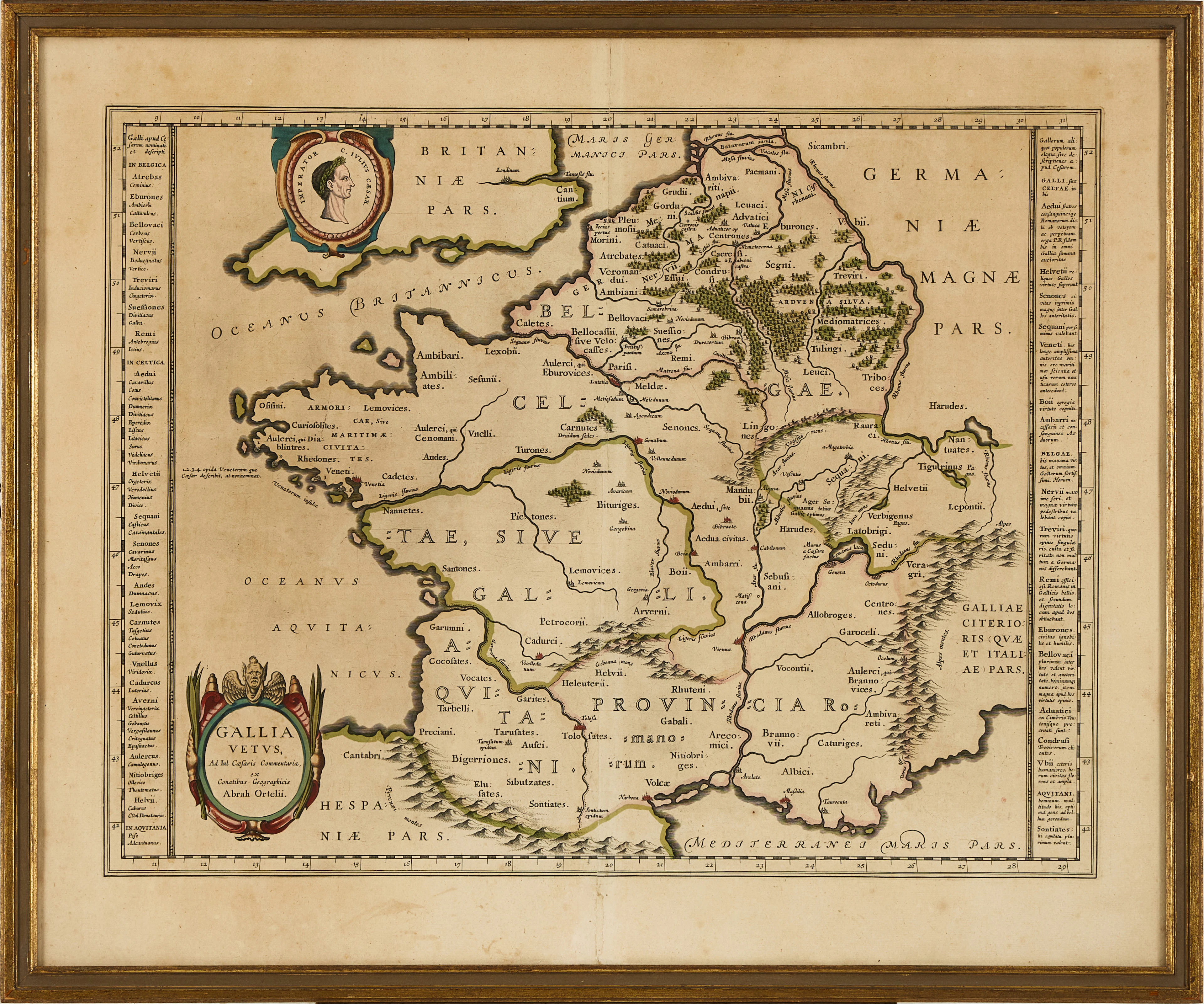
KARTA ÖVER FRANKRIKE, ORTELIUS GALLIA VETUS, ca 1590-1610.
10/06/2026
$80
估價: $149.41