
全部拍賣 / Books, Maps & Manuscripts / Belgium - Brussels; Nicolas de Fer (1646 – 1720)...

Belgium - Brussels; Nicolas de Fer (1646 – 1720)...
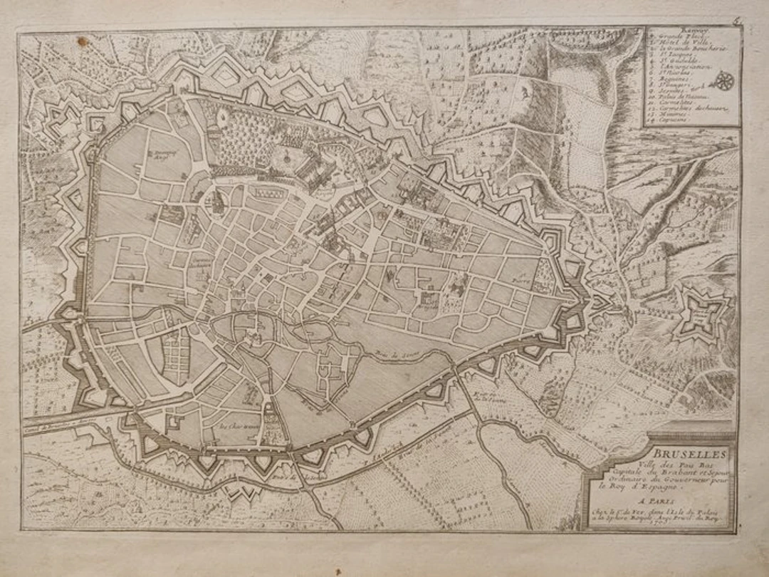
Splendid and detailed period city plan of Brussels, engraved on copper at the beginning of the eighteenth century by the renowned royal cartographer Nicolas de Fer (1646–1720). The map is taken from his celebrated and fortunate editorial work, the Atlas Curieux, printed in Paris at the Isle of the Palace ("Chez le S. de Fer, dans l'Isle du Palais"). The plate offers an extraordinary aerial and plan view of the Brabant capital during the Spanish Netherlands period, meticulously focusing on the mighty defensive system and the bastioned fortifications that surrounded the city. Within the walls the urban fabric, the waterways (including the Senne river) and the main historic buildings are clearly delineated. In the upper right there is a table with the numbered legend ("Renvoi") from 1 to 14 that identifies the places of greatest interest in the city, including the Grand Place and the Town Hall. In the lower right stands an elegant rectangular cartouche containing the full title and the author's editorial notes. A very fascinating black-and-white specimen, characterized by a sharp and clean engraving, ideal for collectors of urban plans and eighteenth-century military fortifications. The map is sold accompanied by a descriptive plate of text only Dimensions 26 x 41 cm Will be shipped by courier
估價:$28
前往拍賣頁查看所有物品來自Catawiki或Books, Maps & Manuscripts
估價:
$28
類似物品



類似物品的拍賣結果
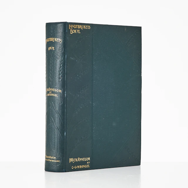
WRANGEL, HIPPOLOGIA. HANDBOK I HÄSTKÄNNEDOM 1906.
10/22/2026
$90.61
估價: $181.98

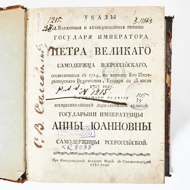
RYSK BOK RÖRANDE LAGAR OCH FÖRORDNINGAR, ST. PETERSBURG 1780.
10/22/2026
$458.83
估價: $151.65
讓您的拍賣觸及全球收藏家!
立刻發佈上架