
全部拍賣 / Books, Maps & Manuscripts / Antique Road Map, London to Hythe, Kent, English, Cartography, John
Antique Road Map, London to Hythe, Kent, English, Cartography, John
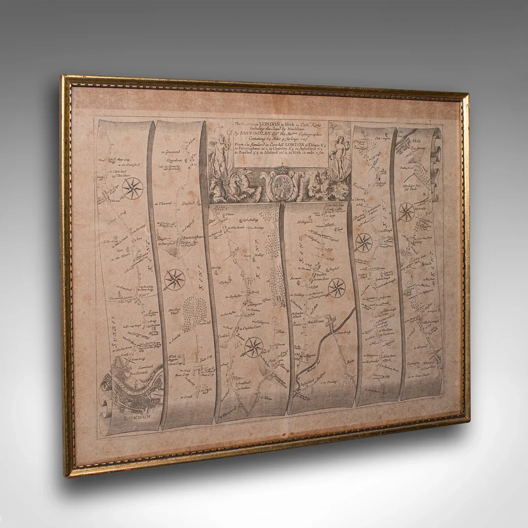
This is an antique Road Map from London to Hythe, Kent. An English, cartographic atlas excerpt by John Ogilby, dating to the late 17th century with later frame, circa 1675 A superb example of early English road cartography, this antique atlas excerpt by John Ogilby depicts the historic route from London to Hythe, Kent. Beautifully preserved and presented within a later glazed frame, this piece embodies the craftsmanship and innovation of Britain’s first road atlas annotated in miles. This is a quality antique road map of London to Hythe, offering remarkable cartographic charm and ready for elegant display in any collection or period setting. Delivered ready to display. Max Width: 48.5cm (19'')Max Depth: 2.5cm (1'')Max Height: 40cm (15.75'') Map Width: 46.5cm (18.25'')Map Height: 37.5cm (14.75'')
估價:$696.69
前往拍賣頁估價:
$696.69
類似物品





類似物品的拍賣結果
1 bt. Champagne "Cristal", Louis Roederer 2016 A (hf/in). Oc. – Bruun
10/15/2026

$210.41
估價: $210.76
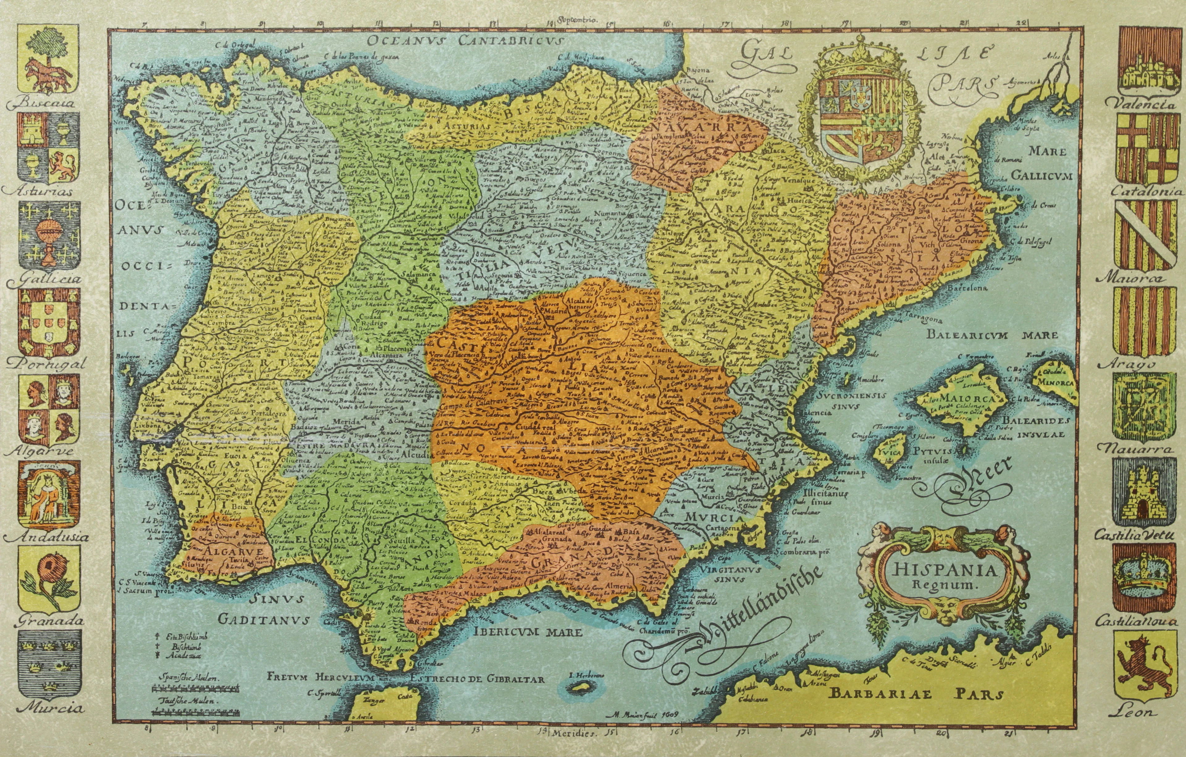
KARTA, Spanien, inramad, 1900-talets andra hälft.
10/14/2026
$30.14
估價: $50.17
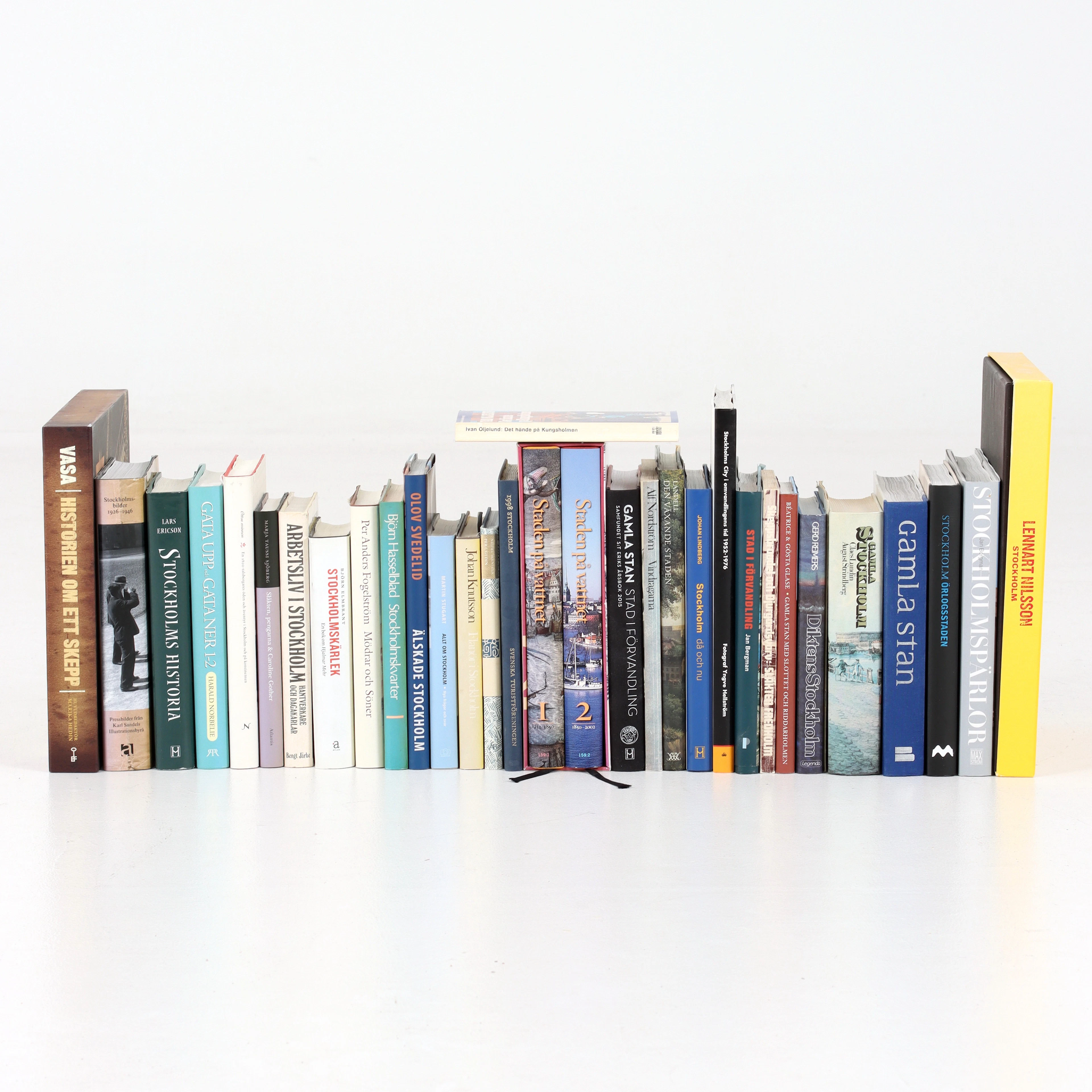
BÖCKER om STOCKHOLM, 31 st, 1900-talets senare del.
10/14/2026
$52.74
估價: $60.21
讓您的拍賣觸及全球收藏家!
立刻發佈上架