
全部拍賣 / Books, Maps & Manuscripts / Antique Plan de l'Historie Universelle World Map, Framed Cartography
Antique Plan de l'Historie Universelle World Map, Framed Cartography
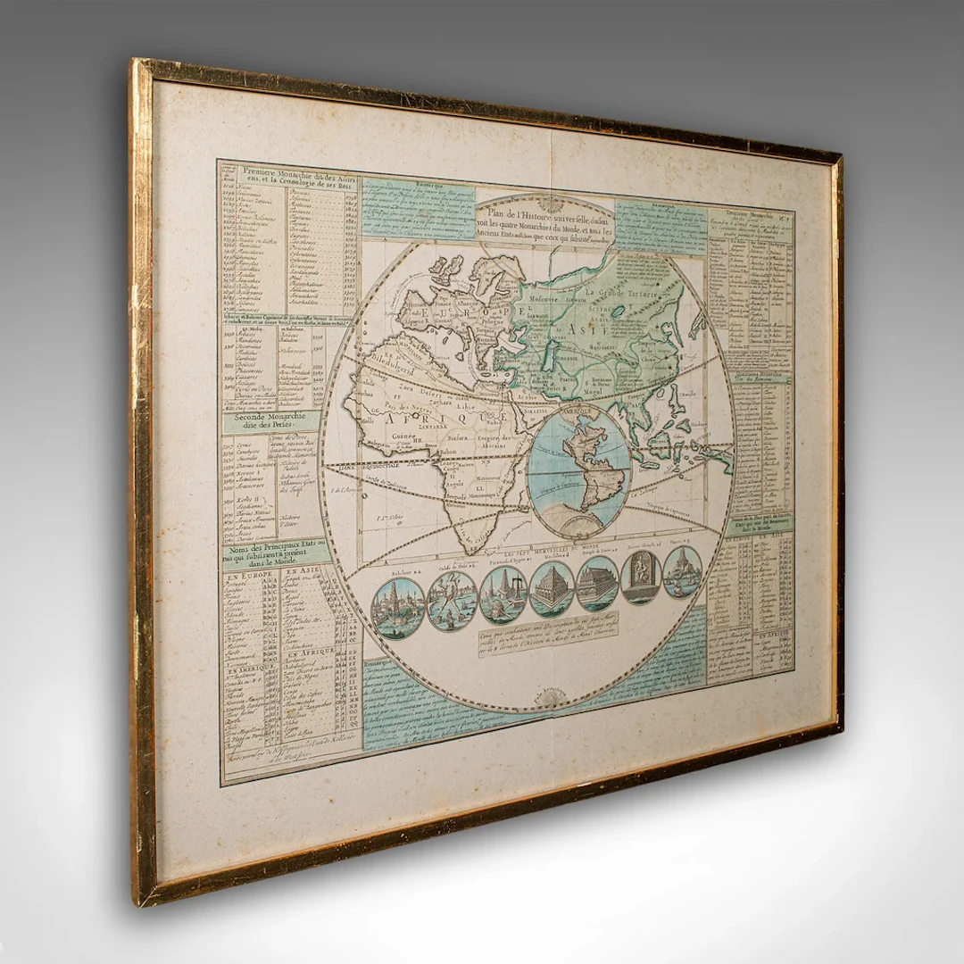
This is an antique Plan de l'Historie Universelle World Map. A Dutch, framed atlas engraving by Henri Abraham Chatelain, dating to the 18th century and later, circa 1730. Published in Amsterdam, with all text in French. The full title reads; This is a captivating antique Plan de l'Historie Universelle World Map, with fine cartographic interest and fascinating 18th century encyclopaedic detail. A treat for collectors of cartography, historic reference or Francophiles. Delivered ready to display. Max Width: 54.5cm (21.5'')Max Depth: 2cm (.75'')Max Height: 44.5cm (17.5'') Map Width: 44.5cm (17.5'')Map Height: 34cm (13.5'')
估價:$1,227.51
前往拍賣頁估價:
$1,227.51
類似物品





類似物品的拍賣結果
1 bt. Champagne "Cristal", Louis Roederer 2016 A (hf/in). Oc. – Bruun
10/15/2026

$210.41
估價: $210.76
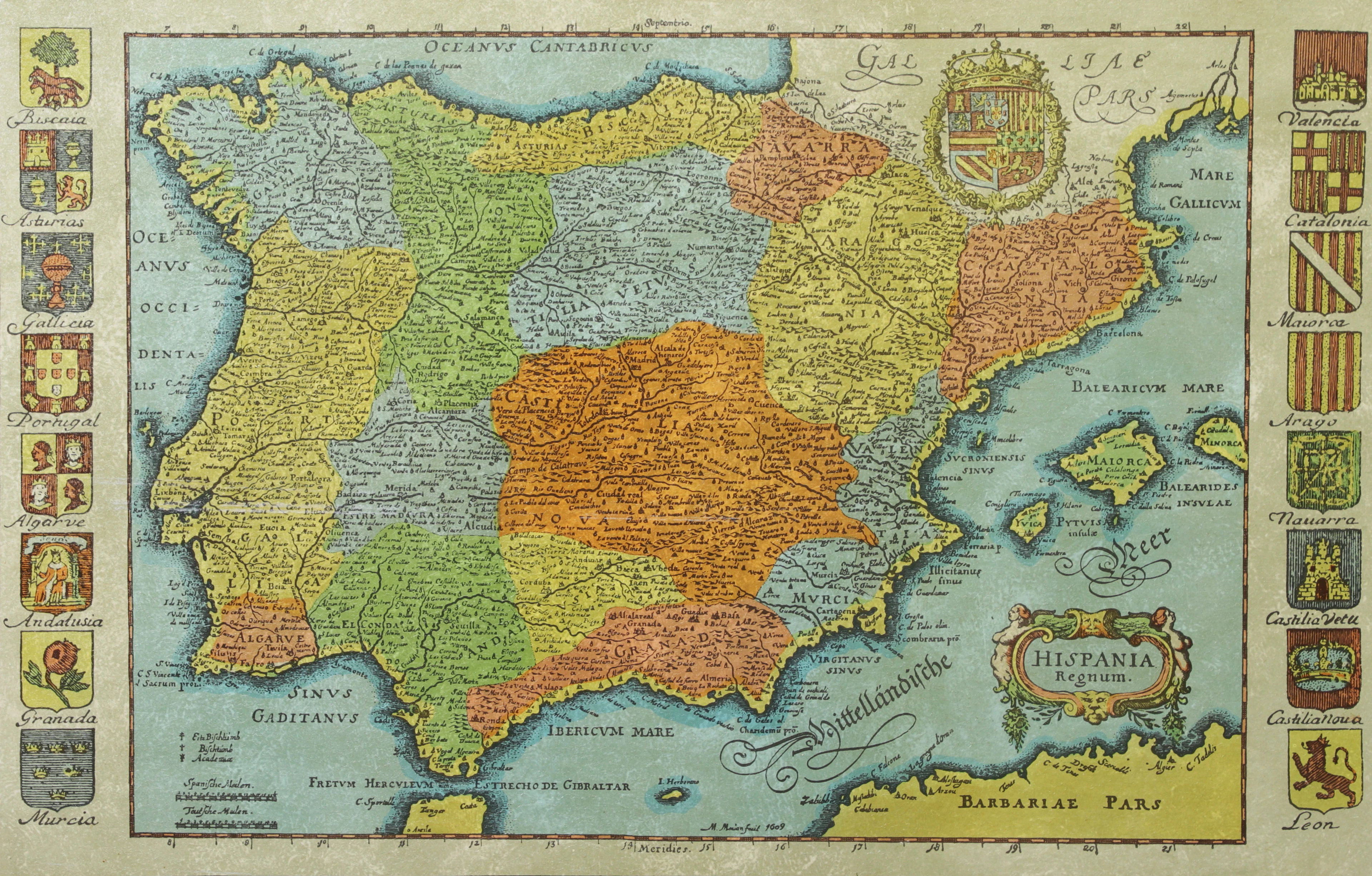
KARTA, Spanien, inramad, 1900-talets andra hälft.
10/14/2026
$30.14
估價: $50.17
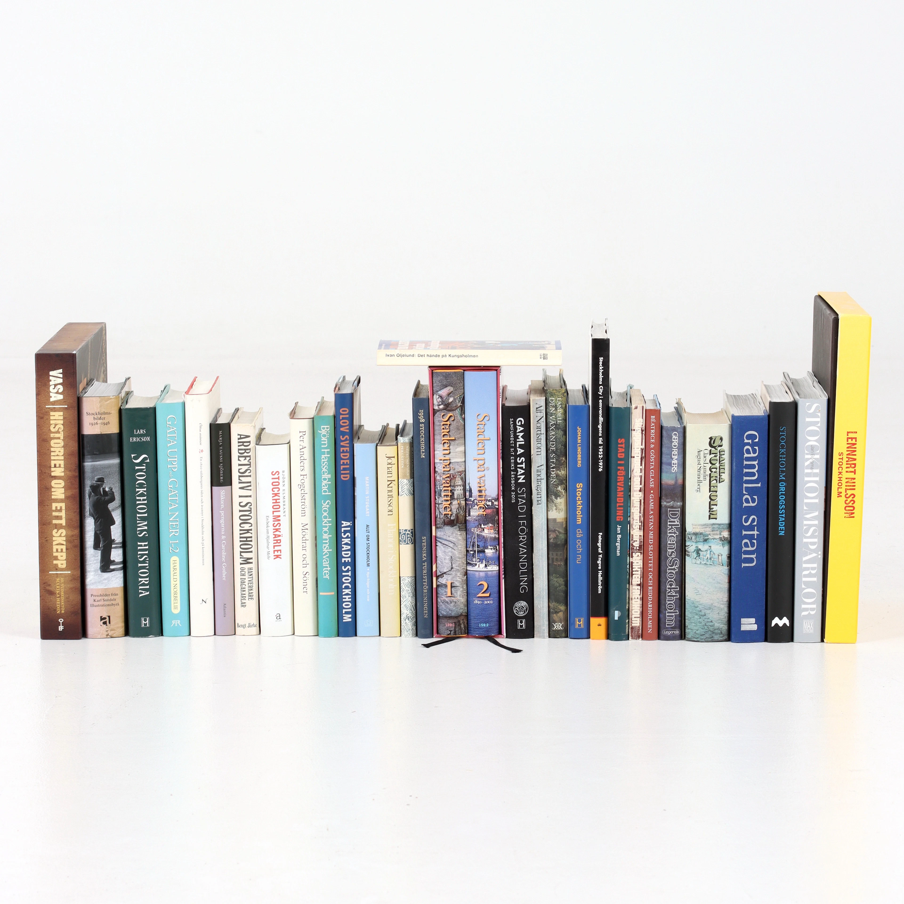
BÖCKER om STOCKHOLM, 31 st, 1900-talets senare del.
10/14/2026
$52.74
估價: $60.21
讓您的拍賣觸及全球收藏家!
立刻發佈上架