
全部拍賣 / Books, Maps & Manuscripts / Antique Map of Ireland, French, Framed Cartography, Eire, Georgian, Circa 1780
Antique Map of Ireland, French, Framed Cartography, Eire, Georgian, Circa 1780
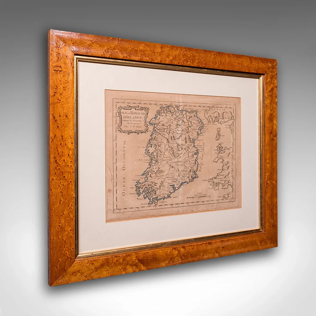
This is an antique map of Ireland. A French, maple framed cartography engraving by Jean-Baptiste Nolin, this posthumous atlas edition dating to the Georgian period, circa 1780. Full Title: This is a fascinating late 18th century Ireland map, a delightful atlas engraving published by the cartographer's son. Perfect for collectors of antique maps and national history. Delivered ready to display. Max Width: 47.5cm (18.75'')Max Depth: 2cm (.75'')Max Height: 42.5cm (16.75'') Map Width: 28.5cm (11.25'')Map Height: 23.5cm (9.25'')
估價:$1,187.7
前往拍賣頁估價:
$1,187.7
類似物品





類似物品的拍賣結果
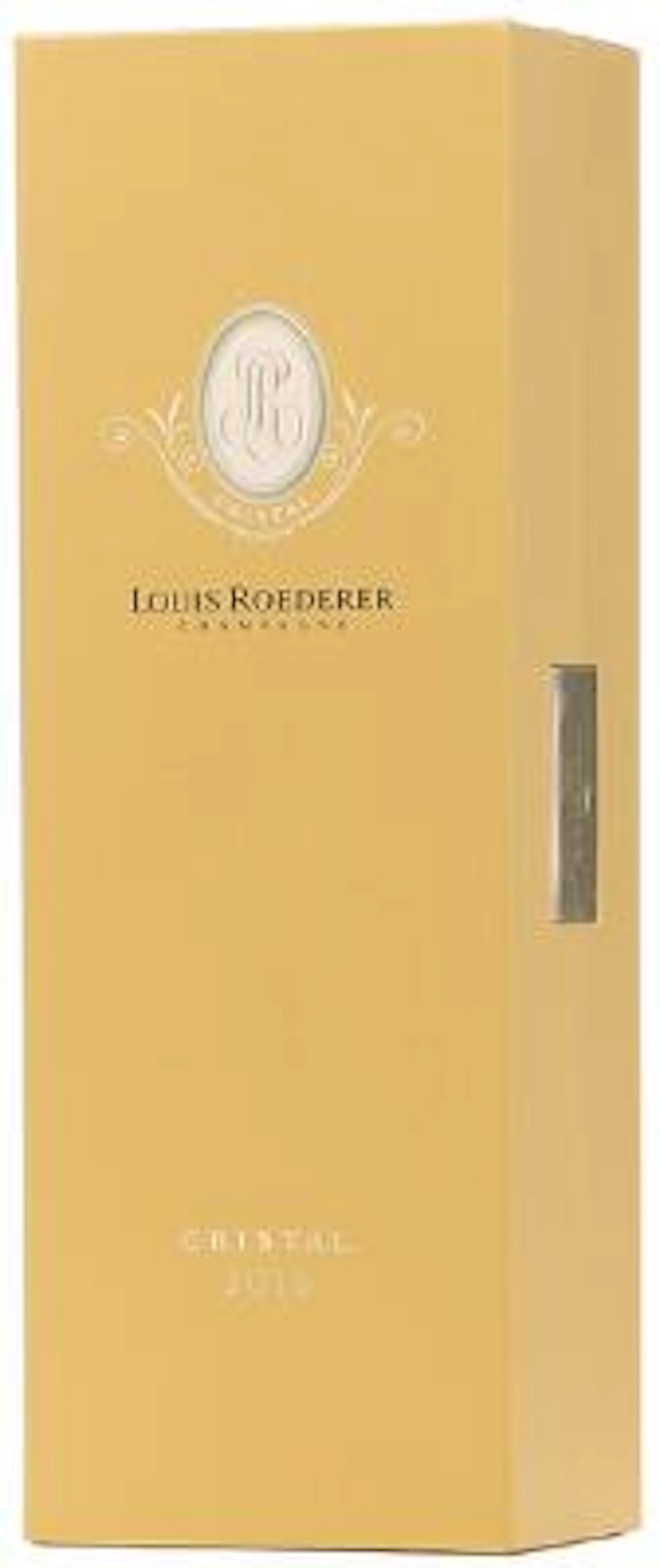
1 bt. Champagne "Cristal", Louis Roederer 2016 A (hf/in). Oc. – Bruun
10/15/2026

$210.41
估價: $210.76
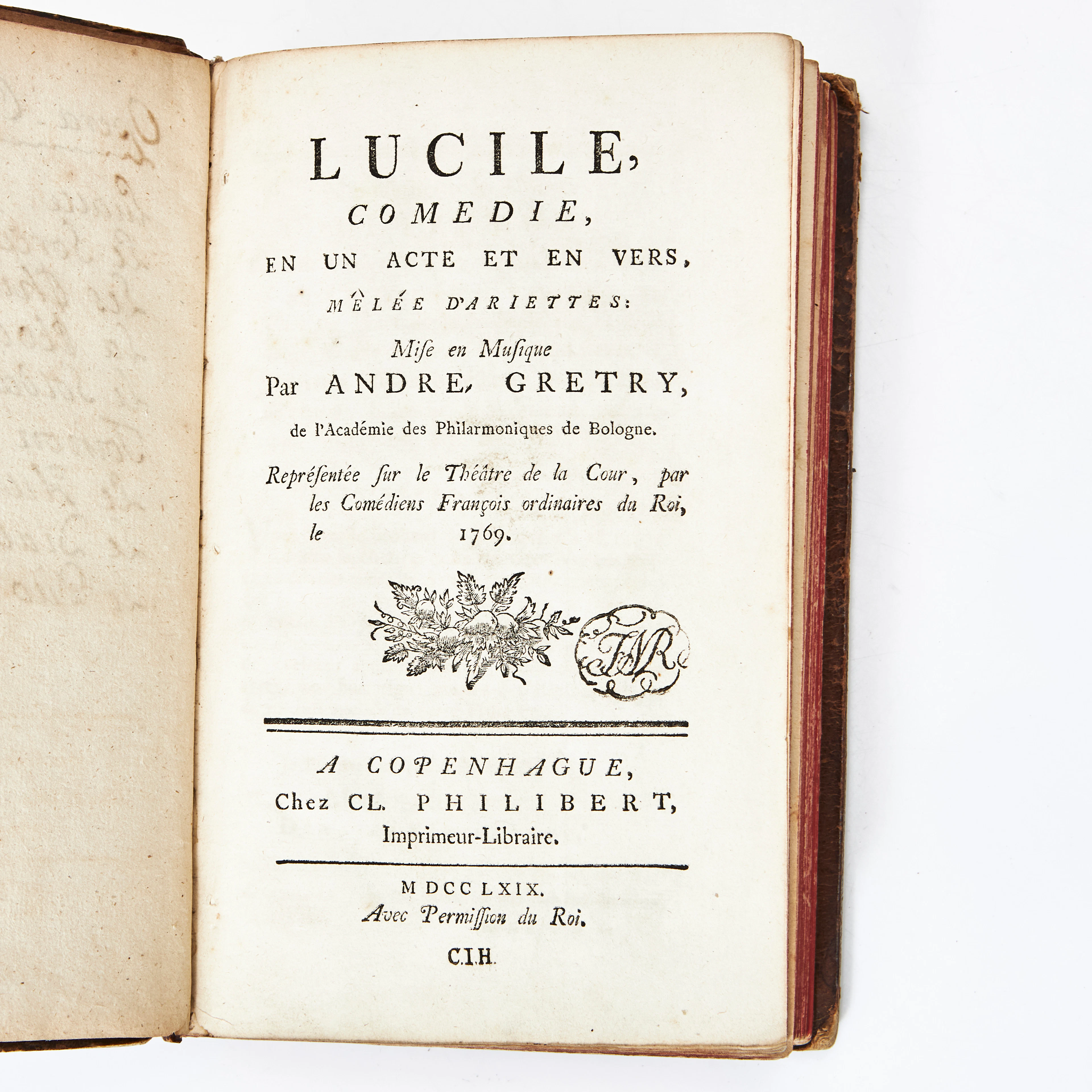
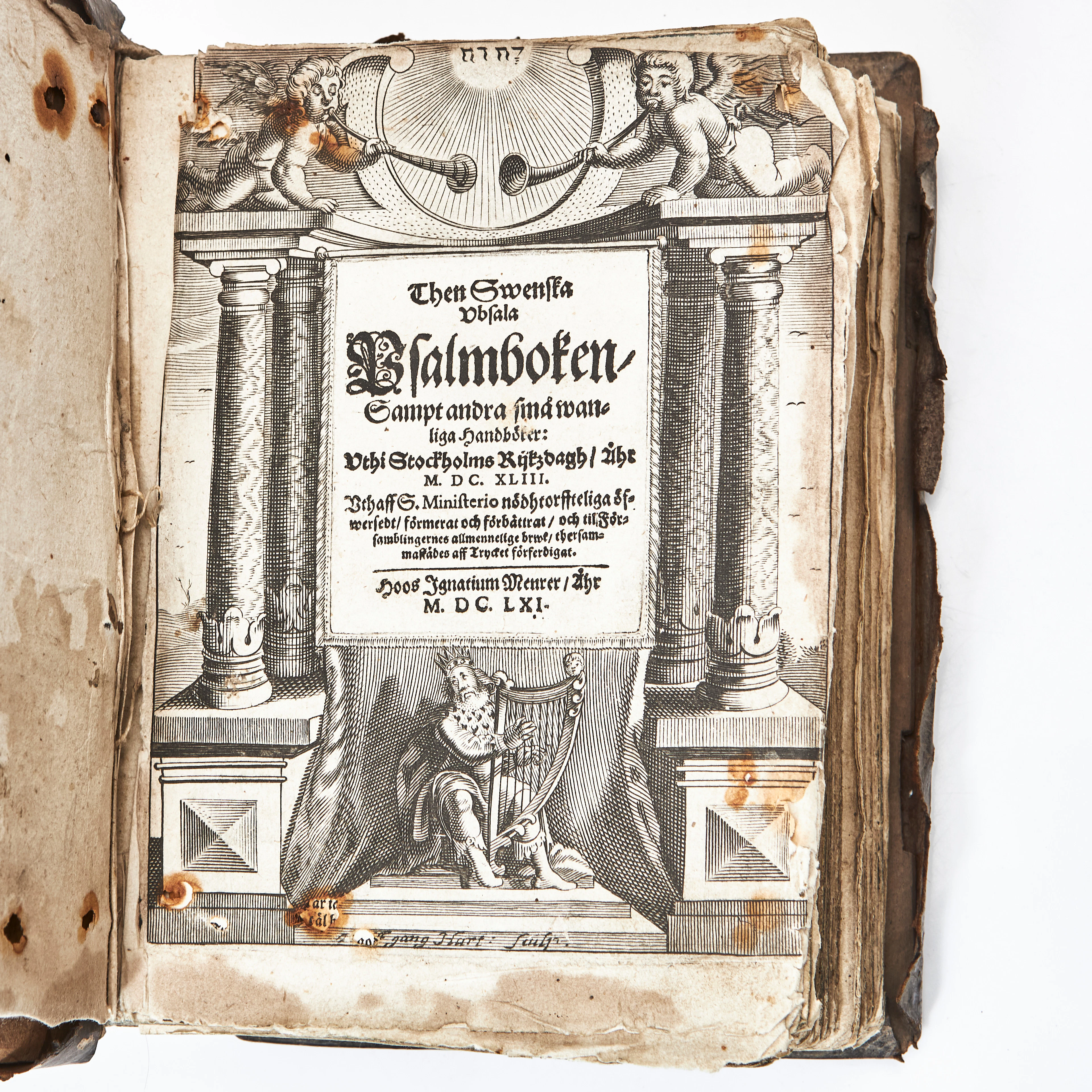
THEN SWENSKA UBSALA PSALMBOKEN 1661 MED FLERA. 3 vol.
10/14/2026
$1,463.76
估價: $301.06
讓您的拍賣觸及全球收藏家!
立刻發佈上架