
全部拍賣 / Arts & Graphics / Antique Buckinghamshire Map, English, Framed 17th Century County Cartography
Antique Buckinghamshire Map, English, Framed 17th Century County Cartography
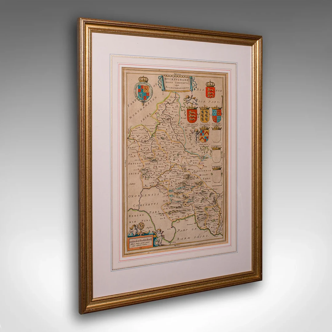
This is an antique county map of Buckinghamshire. An English, framed atlas engraving reproduction by Dutchman Joan Blaeu, dating to the 17th century and later. This is a fascinating antique county map of Buckinghamshire, with superb detail and 17th century cartographic interest. Delivered ready to display. Max Width: 47.5cm (18.75'')Max Depth: 2.5cm (1'')Max Height: 63.5cm (25'') Map Width: 27cm (10.75'')Map Height: 43.5cm (17.25'')
估價:$1,054.99
前往拍賣頁查看所有物品來自London Fine Antiques或Arts & Graphics
估價:
$1,054.99
類似物品

類似物品的拍賣結果
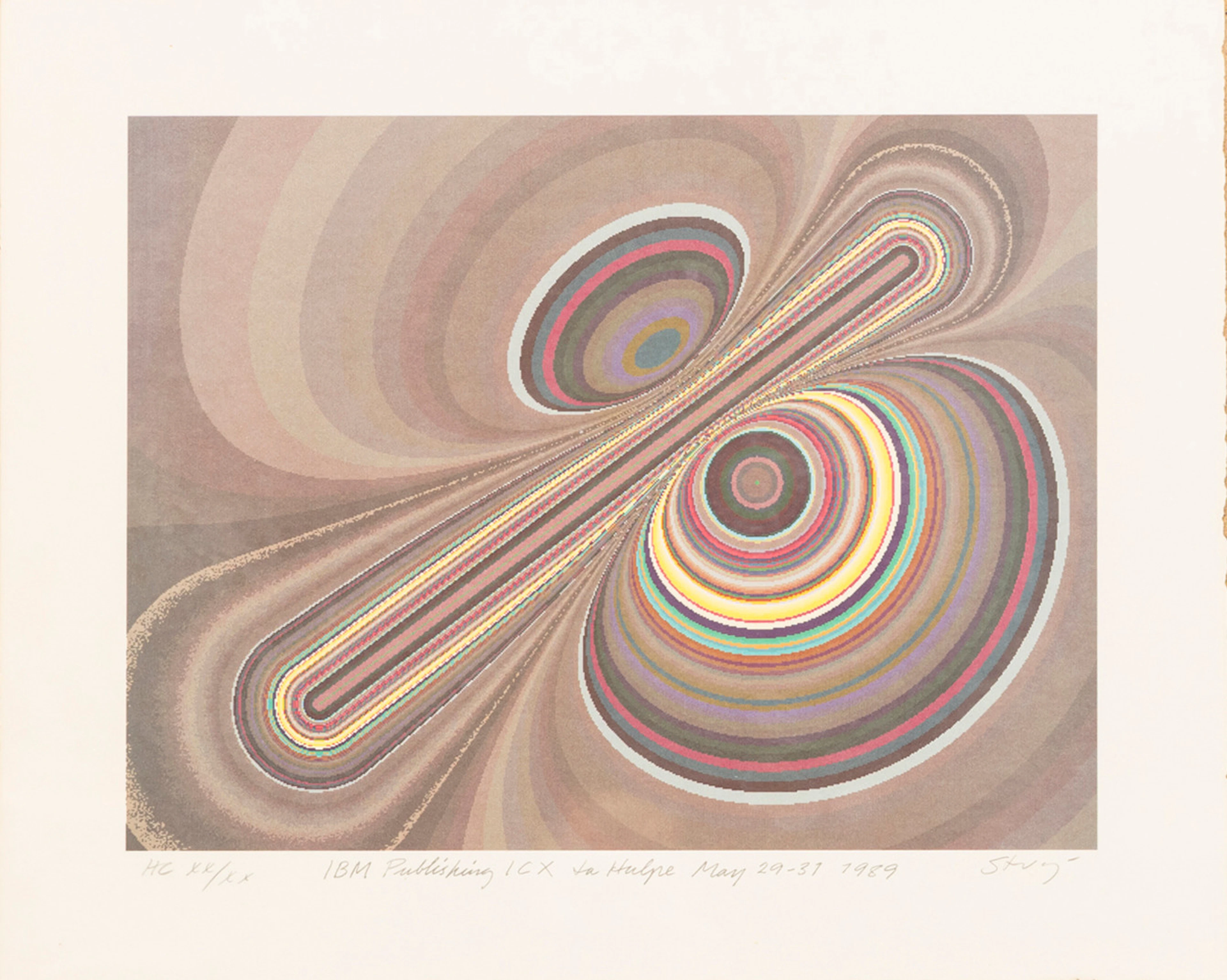
STURE JOHANNESSON. "La hulpe May", färglitografi, signerad, numrerad
10/15/2026
$40.35
估價: $100.15

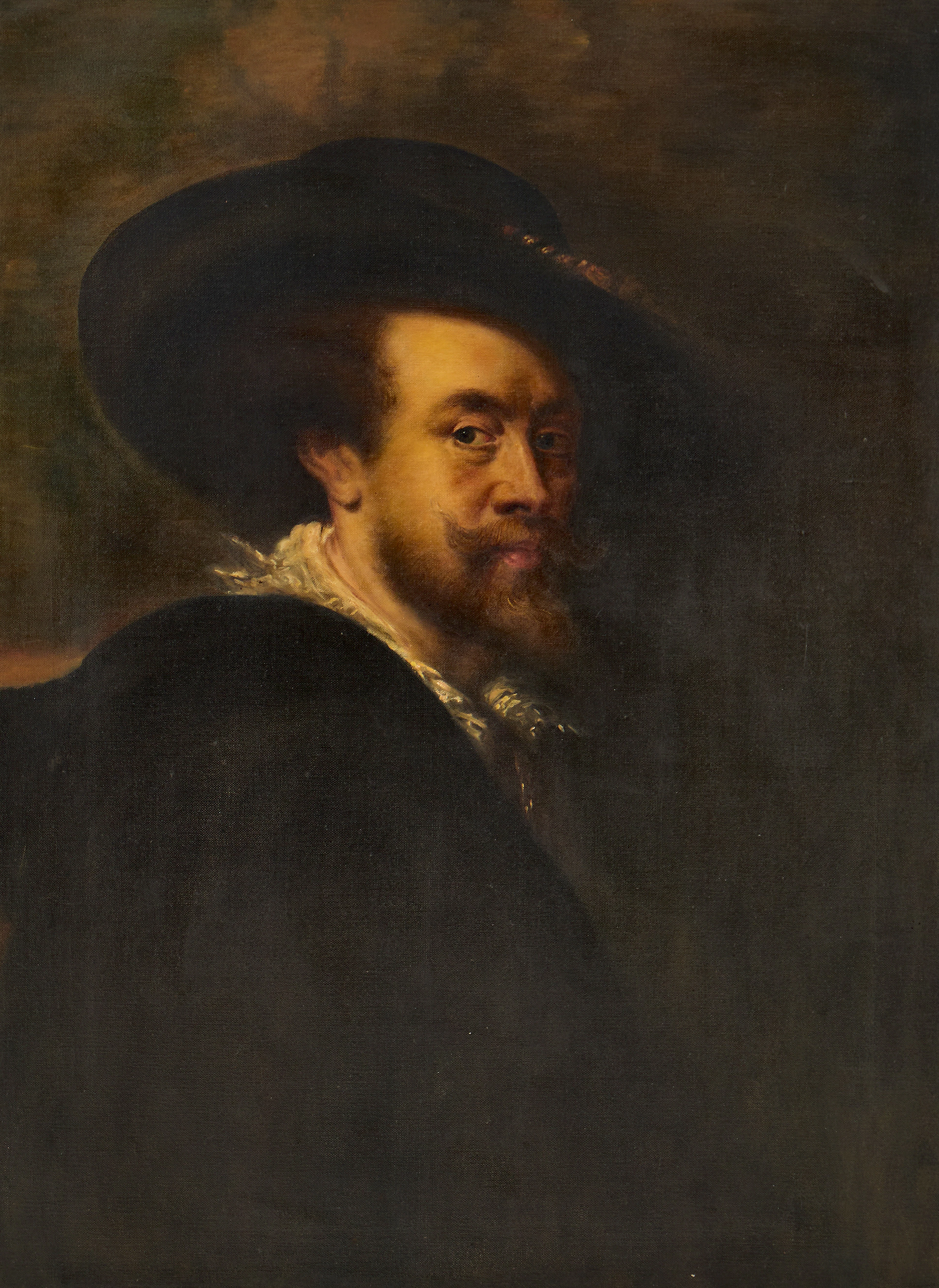
PETER PAUL RUBENS (Flandern, 1577-1640): Kopia efter, Självporträtt
10/15/2026
$302.65
估價: $400.6
讓您的拍賣觸及全球收藏家!
立刻發佈上架